County Tops of England: Wiltshire
Milk Hill: 295 metres (Grid Ref: SU104643)
Google Maps Open Source Maps| Route Statistics and Files | ||
|---|---|---|
| Start: Knap Hill Car Park | Grid Ref: SU115637 | Distance: 2.8 miles (4.5 km) |
| Climbing: 117 metres | Time: 1 hour | Rating: Easy |
| GPX Route File | Google Earth File | Map: 157 Marlborough, Savernake Forest, Avebury and Devizes |
| Statistics | |
|---|---|
| Start: Knap Hill Car Park | Grid Ref: SU115637 |
| Distance: 2.8 miles (4.5 km) | Time: 1 hour |
| Climbing: 117 metres | Rating: Easy |
| GPX Route File | Google Earth File |
| Map: 157 Marlborough, Savernake Forest, Avebury and Devizes |
The Walk: From the car park follow the White Horse Trail in a direction west to reach the white horse. Once the sight of the chalk figure had been enjoyed continue west to Cross Dyke. From here track north on the hill to summit Wiltshire's highest point on the plateau of the hill before heading back eastwards to the start.
The Walk I Would Do: This walk looks to be a nice short circular of Milk Hill which I am sure I would enjoy. So I would do it. Then I would head north to Avebury and do my favourite Wiltshire walk.
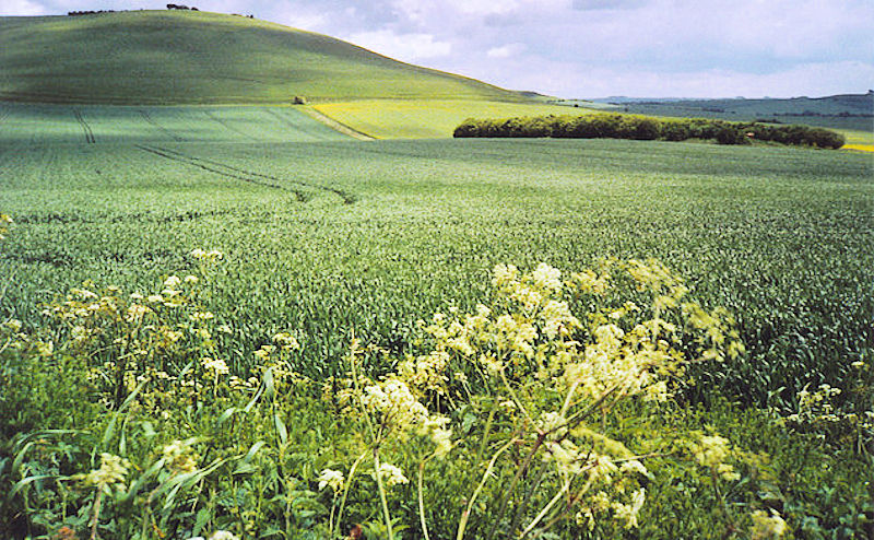
Information: Milk Hill, located near Alton Priors east of Devizes, is the highest point in the county of Wiltshire, southwest England, at some 295m (968 ft) above sea level (the adjacent Tan Hill rises to 294 m). It is the location of the Alton Barnes white horse (a hill figure cut in 1812). On 23 August 2009, the BBC programme Countryfile featured an item on analysis by Ordnance Survey to determine whether Milk or Tan Hill is the higher. It was confirmed that Milk Hill is 26 centimetres (10.2 in) higher than Tan Hill. (Source: Wikipedia)


