Wainwright's Coast to Coast Walk
A personal record of my walk in 1994 with written journal and photographs. Tracklogs for GPS units and for use with Google Earth are available for download for each stage.
Journal, Photographs and Download Files
Stage 3: Clay Bank Top to Brompton
Google Maps Open Source Maps| Statistics and Files | ||
|---|---|---|
| Start: Clay Bank Top | Finish: Brompton | Distance: 18.7 miles (30.1 km) |
| Time: 7-9 hours | Climbing: 760 metres | Rating: Strenuous |
| GPX Route File | Google Earth File | About the Cleveland Hills |
| Statistics | |
|---|---|
| Start: Clay Bank Top | Finish: Brompton |
| Distance: 18.7 miles (30.1 km) | Time: 7-9 hours |
| Climbing: 760 metres | Rating: Strenuous |
| GPX Route File | Google Earth File |
Ordnance Survey Explorer Map (1:25,000)
Stage Report
 Climbing up White Hill to Wainstones
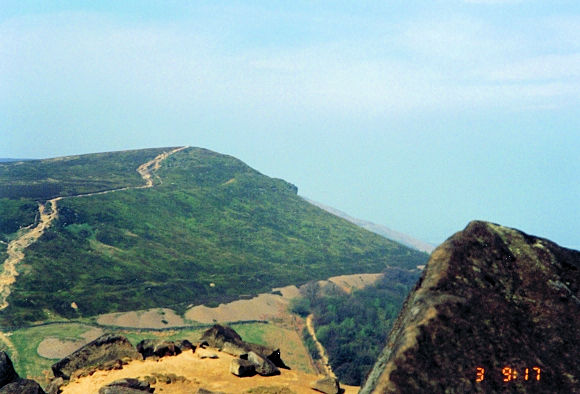 The Cleveland Way as seen from Wainstones
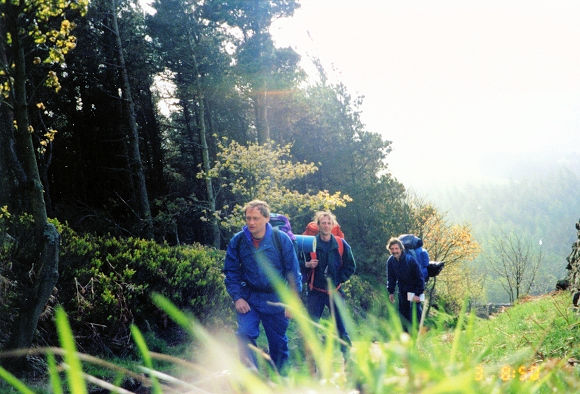
We were in good heart setting off from Clay Bank Top as tonight's stop was in Brompton near Northallerton. This added a few miles to the whole walk but Dave and I were born in Brompton so it was planned this way. As with yesterday the day began with a climb. The ascent to White Hill is not too long and as we puffed our way up the first climb to Wainstones we gained good views of the Vale of Mowbray. At Wainstones I enjoyed an easy scramble on the rock outcrop at the top. After my fun we left Wainstones to drop down steeply to Garfit Gap and then up again. It was just like being on the rides at Blackpool as we went down once more to another dip and then up another climb to Kirby Bank. I was getting a little tired of the ups and downs now but the viewpoint on Cringle Moor where you can view not only the coast but also the Swaledale Hills cheered me up. It's a fantastic viewpoint on a clear day and as we were having our third good day's weather in a row I could see for miles. By now our legs were suitably warmed up for the remainder of the day. We dropped down from Cringle Moor and soon arrived at a popular cafe built into the hill. We stopped for refreshments and sat outside the cafe in our solitude taking all the peace of the Cleveland Hills in. It would have been different yesterday as this cafe is a very busy spot at weekends. After our welcome break we climbed to Gold Hill passing a gliding club en-route and then enjoyed level walking for a mile until we started our descent into Scugdale from where we made a short climb to Scarth Wood Moor. It has been a bit of a roller coaster with all the ups and downs on the edge of the Cleveland Hills but the views on a clear day had really made it all worth it. We descended into Ingleby Cross and said goodbye to the North York Moors for we were now starting a low level 23 mile crossing of the Vale of Mowbray, all the way to Richmond.
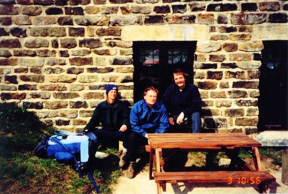 The cafe at Carlton Bank
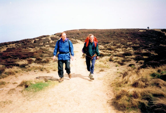 Dave and I crossing Carlton Moor
The traditional Coast to Coast walk stops off at Ingleby Cross but we had decided to walk 6 more miles to my and Dave's home village, Brompton. This decision was the cause of our first team spat as we got lost on this leg, our own backyard! Dave and I got cross with each other over it. We did not argue for long but it was embarrassing getting lost in a place we were familiar with. We spent our childhood in the fields we were trying to negotiate...what a place to foul up. We eventually found the place of many childhood days, Fulicar Lane and arrived without too much deviation to the plan. But we were all feeling the walk now. All three of us had aching feet and Dave said he was giving the walk up later in the evening. As expected, he was with us come the morning.
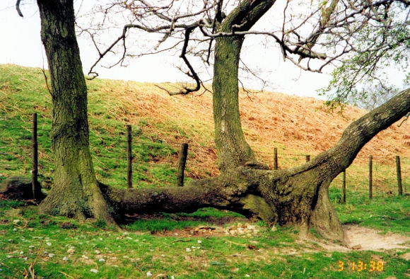 A phallic tree in Scugdale
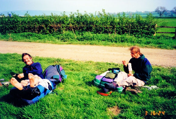 Steve airs his feet near East Harlsey
Despite Dave's complaints I was clearly the one worse off and had begun to cover my feet up with bandages and had a few painful days ahead of me. We had so far covered 57 miles in 3 days and my feet were beginning to blister. Even the experienced walker will feel it after 3 days of distance so I advise all Coast to Coast walkers to carry a spare pair of boots, bandages and plasters. I have since found that alternating walking footwear is the best way to do long walks and suffer least. Pain can cause even the most enthusiastic and committed distance walkers to question their ability to continue. Be prepared!


