County Tops of England: Sussex
Black Down: 280 metres (Grid Ref: SU919296)
Google Maps Open Source Maps| Route Statistics and Files | ||
|---|---|---|
| Start: Car Park | Grid Ref: SU922290 | Distance: 1.5 miles (2.5 km) |
| Climbing: 110 metres | Time: 1 hour | Rating: Easy |
| GPX Route File | Google Earth File | Map: OL33 Haslemere and Petersfield |
| Statistics | |
|---|---|
| Start: Car Park | Grid Ref: SU922290 |
| Distance: 1.5 miles (2.5 km) | Time: 1 hour |
| Climbing: 110 metres | Rating: Easy |
| GPX Route File | Google Earth File |
| Map: OL33 Haslemere and Petersfield |
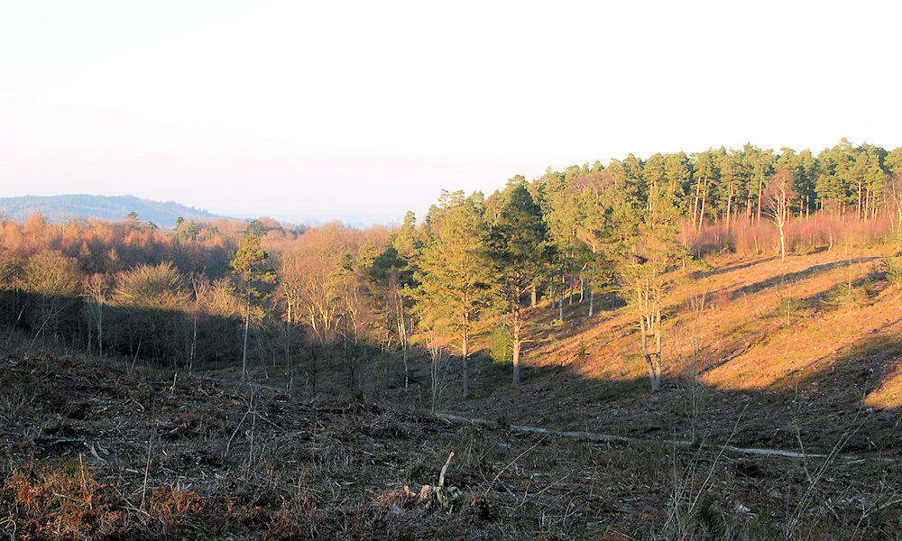
The Walk: Like neighbouring Surrey's county top on Leith Hill which lies to the north-east the county top of Sussex is on a wooded hill. Black Down is covered in woodland which is interspersed with patches of open ground. From the start on a right angled bend in the road near the car park head due north on the east edge of Black Down for 650 metres before turning left at a meeting of paths to head south-west to the trig pillar which denotes the county top of Sussex. From here track south to the viewpoint at Temple of the Winds before exploring Black Down further by tracking south-west and then turning to south-east to return to the start.
The Walk I Would Do: I would do this walk. It appears to be a nice short circular walk of Black Down which achieves the objective of reaching the county top of Sussex. With more time I may have explored Black Down fully by reaching the north edge of the hill.
Information: Black Down is the highest hill in the historic county of Sussex, at 280 metres (919 feet). In southeastern England it is exceeded only by Walbury Hill and Leith Hill. It is also the highest point in the South Downs National Park. The pine- and heather-covered slopes are owned by the National Trust and are a favourite walking spot. Black Down has strong literary associations with the poet Alfred, Lord Tennyson. The great black mass of Black Down looms over much of the Low Weald of west Sussex and south-west Surrey. Black Down is geologically part of the Greensand Ridge and lying on the western margins of the Weald, (Source: Wikipedia)


