South West Coast Path
A personal record of my walk of part of the South West Coast Path in 2002 with written journal and photographs. Tracklogs for GPS units and for use with Google Earth are available for download for each stage.
Journal, Photographs and Download Files
Google Maps Open Source Maps| Statistics and Files | ||
|---|---|---|
| Start: Looe | Finish: Fowey | Distance: 12.2 miles (19.7 km) |
| Time: 5-6 hours | Climbing: 1,020 metres | Rating: Strenuous |
| GPX Route File | Google Earth File | About Looe |
| Statistics | |
|---|---|
| Start: Looe | Finish: Fowey |
| Distance: 12.2 miles (19.7 km) | Time: 5-6 hours |
| Climbing: 1,020 metres | Rating: Strenuous |
| GPX Route File | Google Earth File |
Ordnance Survey Explorer Map (1:25,000)
Please note that while we divert from the true path on occasions the map and track files for download are of the full permissive route for each stage we did.Stage Report
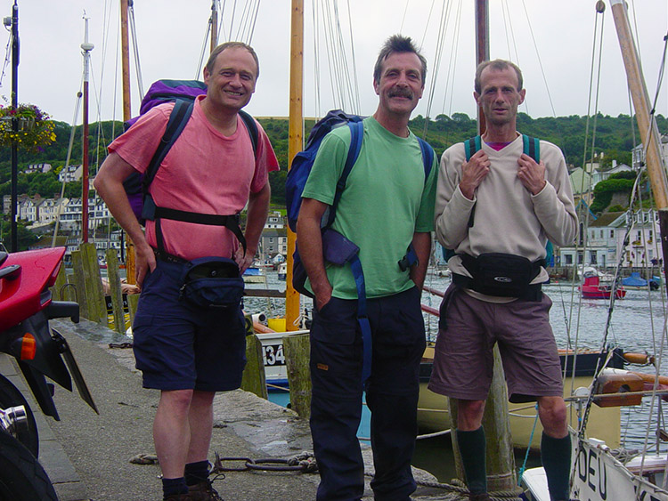 All smiles on leaving Looe
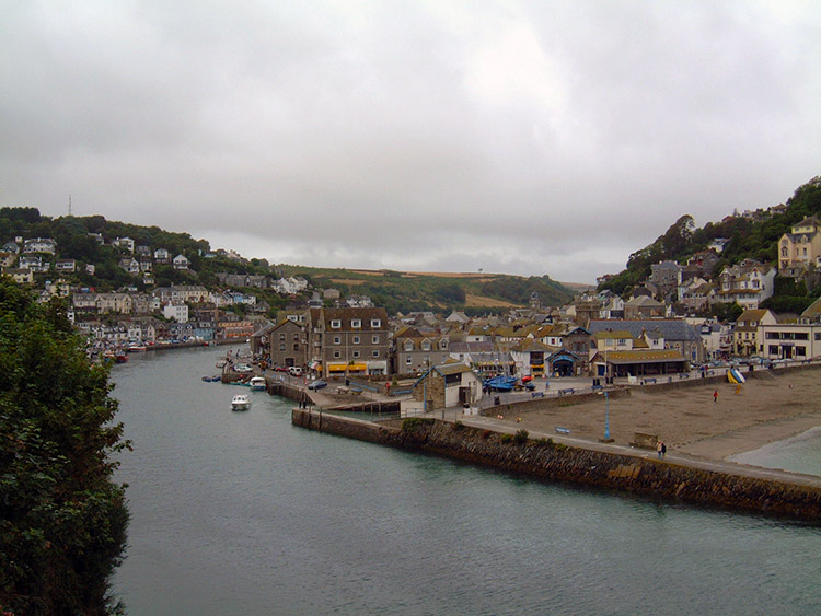 Looe River
Despite early morning lethargy I felt OK after my breakfast in Looe. A little later after checking out of our accommodation I was still a little tired as we left Looe and began a shorter days walking to Fowey. We set off from Looe in overcast conditions although forecasters promised us better weather in the coming days. I hoped so as I wanted a tan out on this walk especially as the weather during the previous week in Snowdonia was typical for the area. Most days were wet.
 Coastal scenery near Polperro
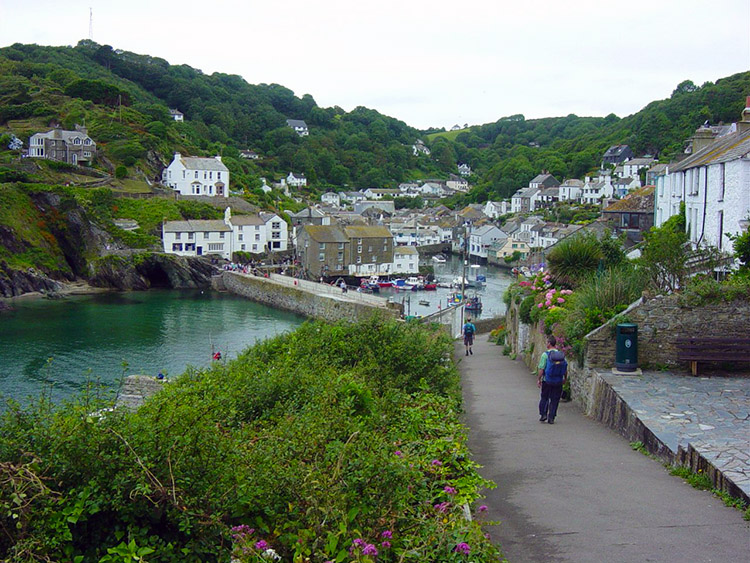 Polperro
From Looe to Porthallow and Talland Bay is your typical coastal walking, not flat but just up and down slopes and steps. I still felt OK as we reached the respite of Polperro, a picture postcard Cornish resort where we stopped for a tea break and took photographs.
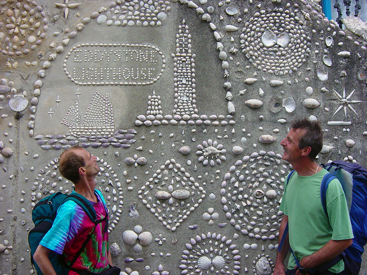 House of Seashells
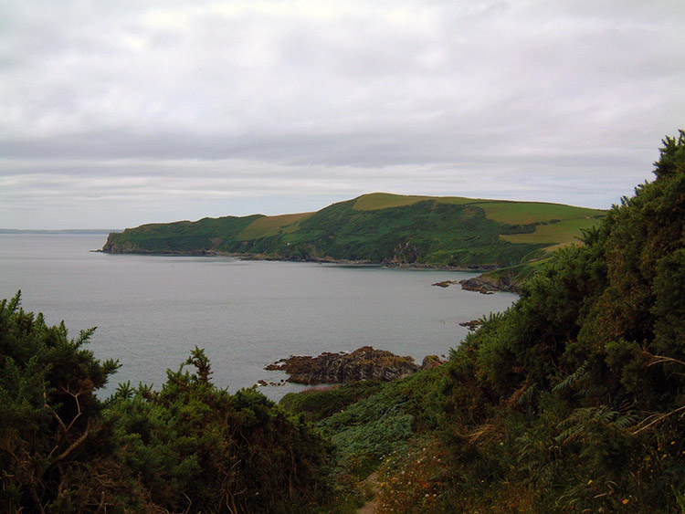 Pencarrow Head
In Polperro the most notable place to photograph was of a house covered in pictures made from sea shells. It was quite remarkable and I had no doubt it was a pleasure to those who made it. We enjoyed the display on the wall and we then enjoyed our break in the centre of the village amidst the local folk and less adventurous tourists. By that I mean no disrespect, just that few were walking from Polperro on the coastal path with us. Most would be heading back to the car parks and bus stops. As we expected all the small craft shops we passed on leaving Polperro were bustling with the day visitors.
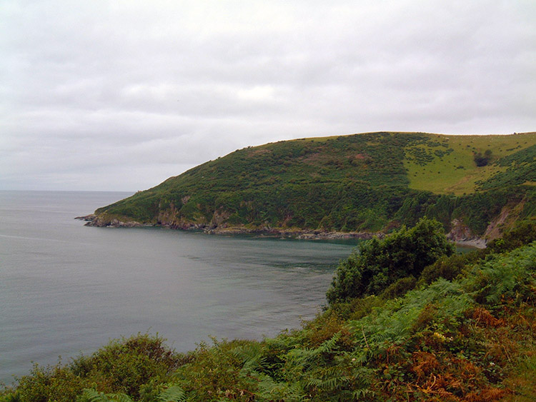
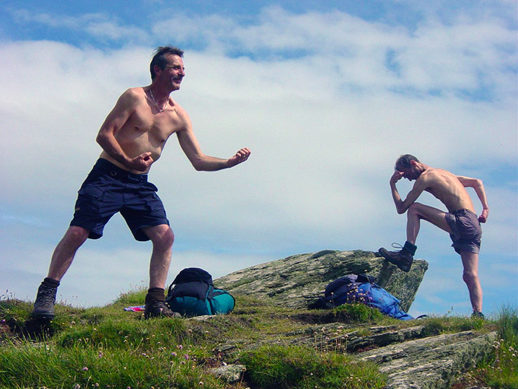 Artistic poses
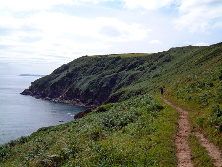 South West Coast Path near Lantic Bay
After Polperro the sun came out and it got hot. Not warm, but hot. Add to that the most difficult of ups and downs between Polperro and Polruan and the 4 miles (as the crow flies) between the two villages seemed an eternity. I was more knackered now than at any time yesterday and that leg of the walk was eight miles longer. My feet were most definitely hurting now. At Polruan I was relieved to reach the ferry crossing to Fowey our home for the night.
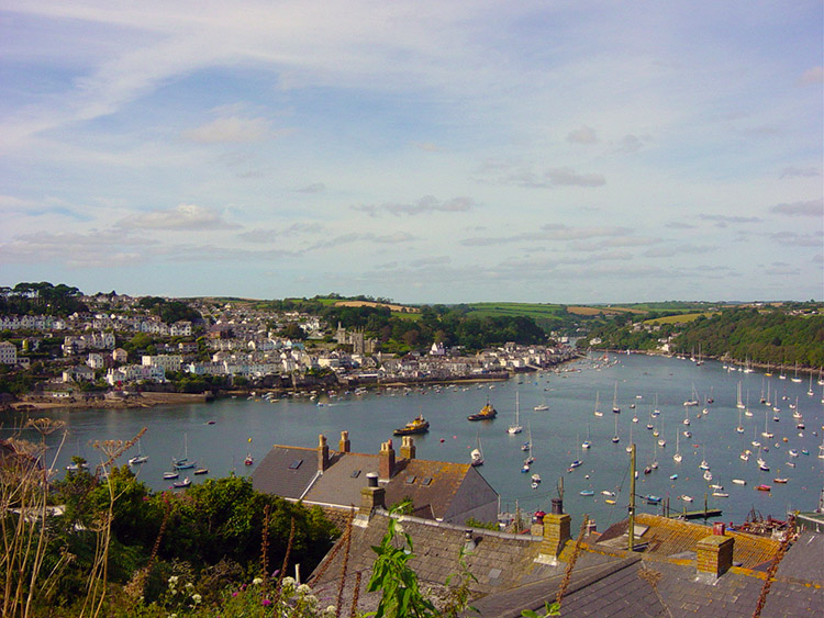 View from Polruan to Fowey
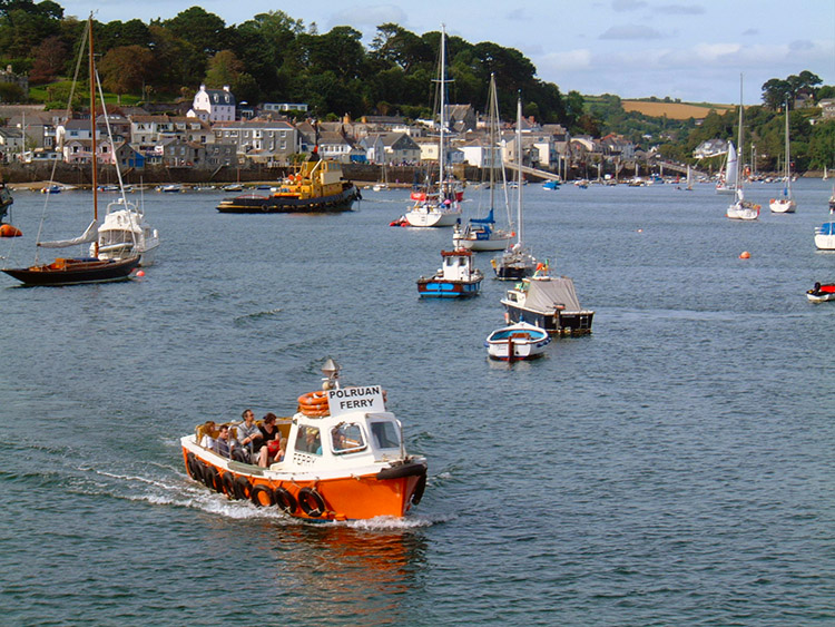 Polruan Ferry
On making the water crossing I think to myself "Twelve miles today, twenty yesterday but these 12 were strenuous and the miles of hard walking have got to my legs and feet. Thank goodness we are on the ferry. I just hope our digs are close by". Alas they were not but once we got there and I had taken a rest I felt OK. Aching but OK. Later we ate at a pub, played a few games of pool and then went back to our digs We had left before last orders. We all needed a good nights sleep.


