Rhine Castles Trail (Rheinburgenweg)
A personal record of my walk of the Rhine Castles Trail (Rheinburgenweg) with a written journal and with photographs. Tracklogs for GPS units and for use with Google Earth are available for download for each stage.
Journal, Photographs and Download Files
Stage Two - Remagen to Bad Breisig
Google Maps Open Source Maps| Statistics and Files | ||
|---|---|---|
| Start: Remagen | Finish: Bad Breisig | Distance: 9.7 miles (15.6 km) |
| Time: 4-6 hours | Climbing: 255 metres | Rating: Moderate |
| GPX Route File | Google Earth File | About the Rheinburgenweg |
| Statistics | |
|---|---|
| Start: Remagen | Finish: Bad Breisig |
| Distance: 9.7 miles (15.6 km) | Time: 4-6 hours |
| Climbing: 255 metres | Rating: Moderate |
| GPX Route File | Google Earth File |
The Walk:
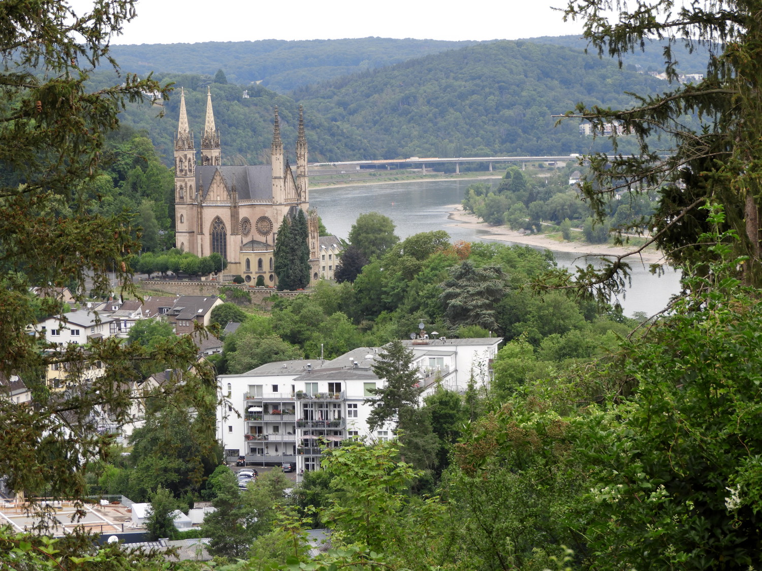 Last look back at Remagen
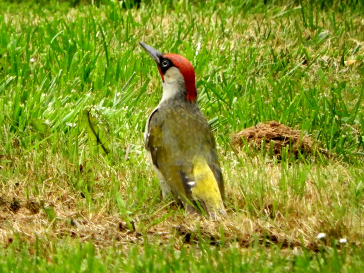 European Green Woodpecker
Lil and I had enjoyed a good night's sleep and enjoyed a good early breakfast before starting out on today's ten mile stage of the walk at 8.00am in the morning. Which was a good thing as we were straight away into a steep climb from Remagen to Waldlehrpfad auf Dem Reisburg. In that abrupt beginning we ascended 120 metres in the first 400 metres of the day. Just like yesterday a quick wake up to the walk which would become a theme for most days on the Rheinburgenweg when climbing from beside the River Rhine on the valley floor to the attendant hills of the south side. Today the hard graft haul up to the hilltops was eased by the entertainment provided by three European Green Woodpecker's, each of them hopping about the grass of a garden area in search of their breakfasts. I have since found out this species of woodpecker prefer ground hunting to tapping trees and that their favourite food is ants. I guess there were plenty to root out in that grass.
 Waldlehrpfad auf Dem Reisburg near Remagen
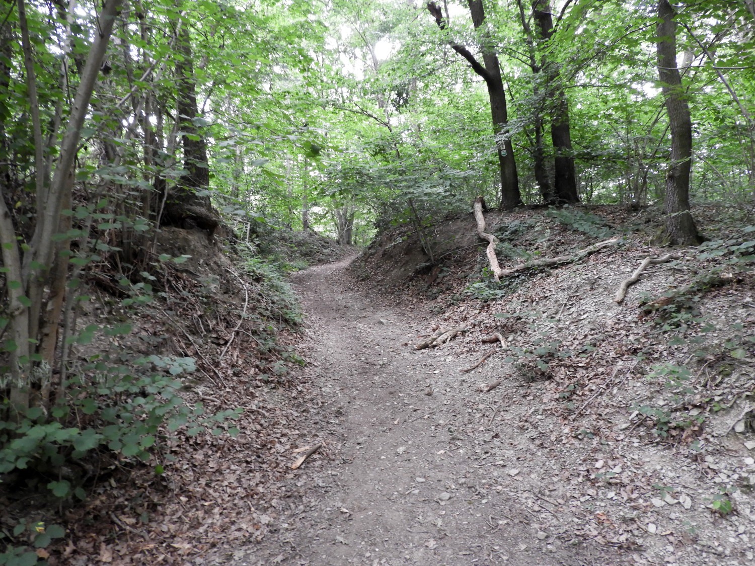 Holloway path through the forest
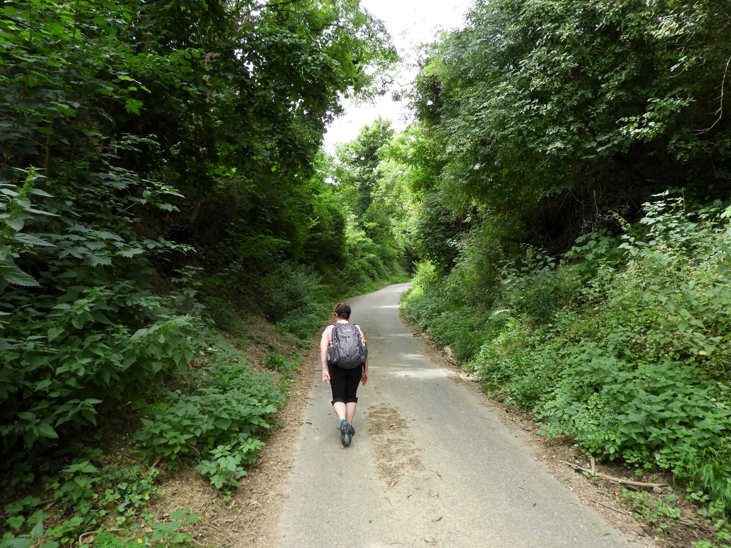
After the 120 metre ascent to Waldlehrpfad auf Dem Reisburg, which translates to Forest nature trail on the Reisburg, we took a short breather and took a look around. Information boards enlightened us the local flora, fauna and of the geology too. Thereafter we had a very pleasant mile and a half walk along forest trails to reach the village of Bad Bodendorf. Unlike yesterday, when the sun came out early and it got hot, this time a blanket of thin cloud kept the temperature just nicely in the low twenties. Perfect for enjoying ourselves and not thinking about the heat during the walk.
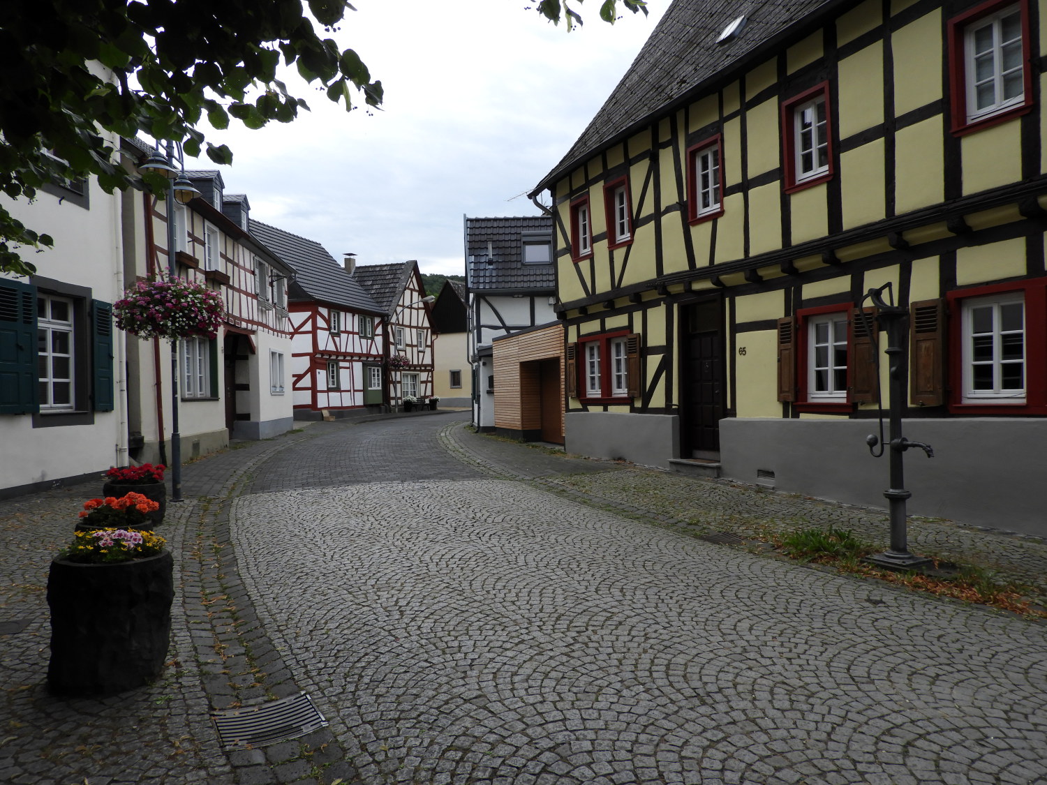 Bad Bodendorf
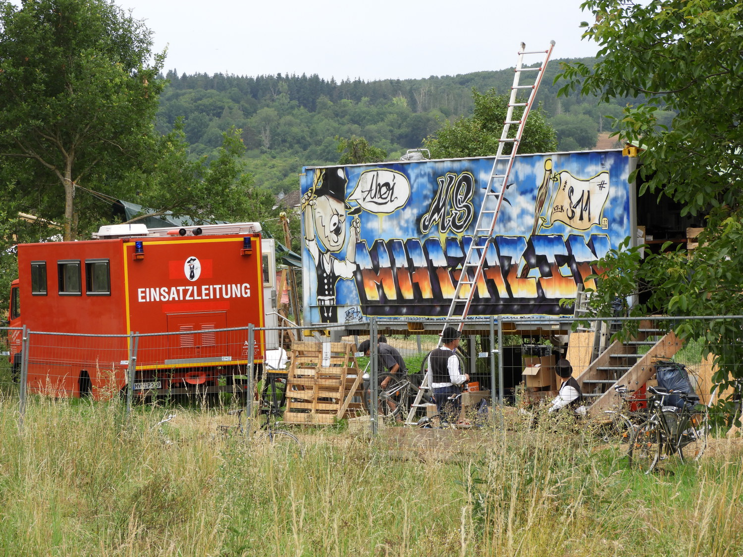 Rescue site Tier-und Naturfreunde Schwanenteich
In Bad Bodendorf we were taken with the beauty of the village. All the houses on the main street were timber framed and individually painted to show off the place. Many of the side streets were much the same; very much a biscuit tin scene. Walking through the main street, which we had purposely diverted to from the Rheinburgenweg path, we noticed the Ahrtal Cafe and popped in for coffee and a piece of cake. In the selling of this walk to Lil I had promised lots of culture, stops for refreshments and anywhere she fancied visited on the way. I was determined to keep my promise. The Ahrtal Cafe visit was a humble first offering and it was delightful. Unlike yesterday when in the shop in Unkelbach I did not have to employ my recently learned basic German. Lil asked for "Zwei Kaffee mit Milch und ein Kuchen bitte" while pointing at the particular cake she wanted. Perfectly understood by the lady serving, all was fine and dandy. However, after our lovely time in pristine Bad Bodendorf we walked to a scene of recent devastation. Just south of the village is the Ahr river which we would follow downstream, cross by a bridge, then follow into the town of Sinzig. Or so we thought.
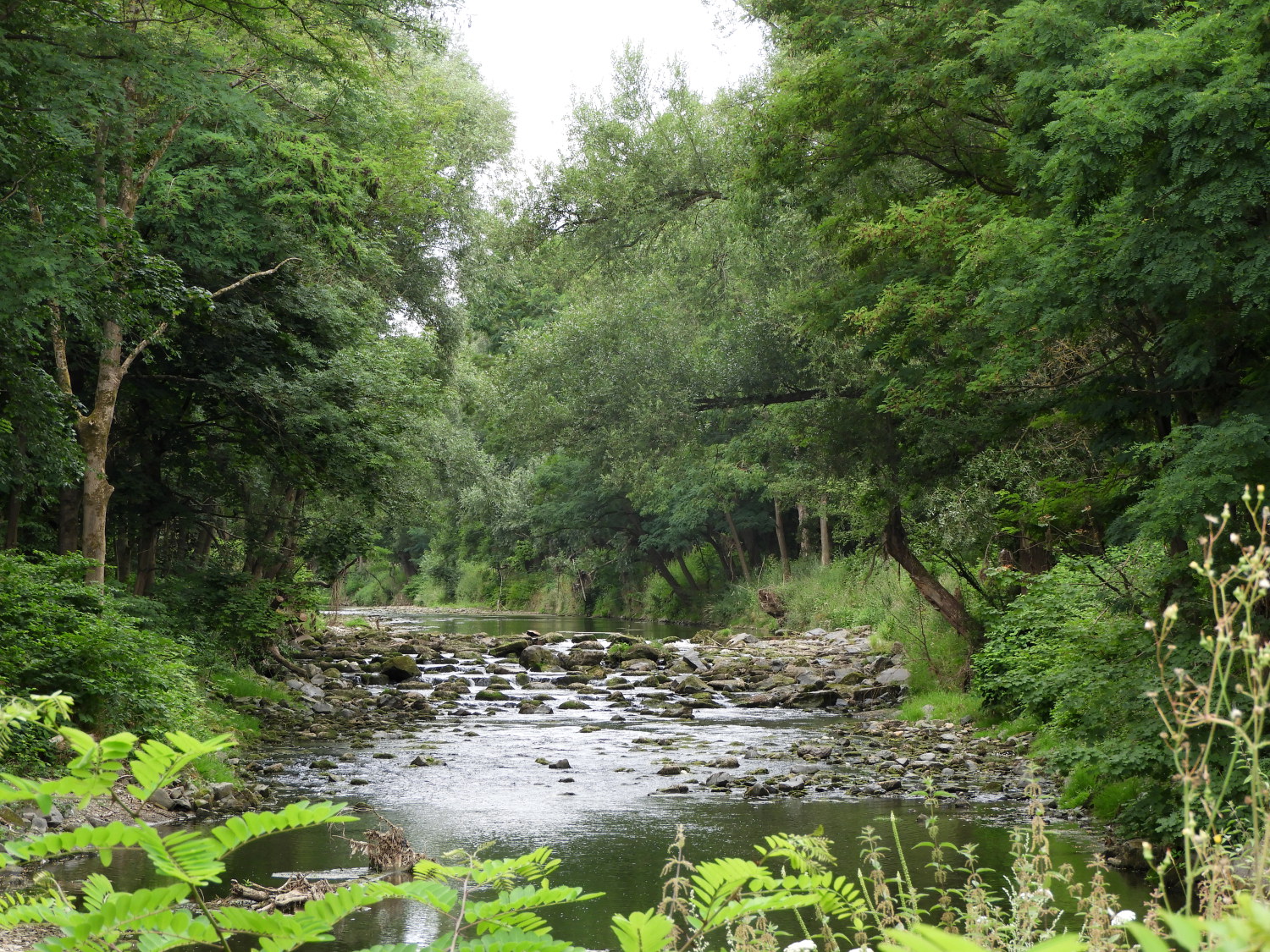 The Ahr river near Sinzig
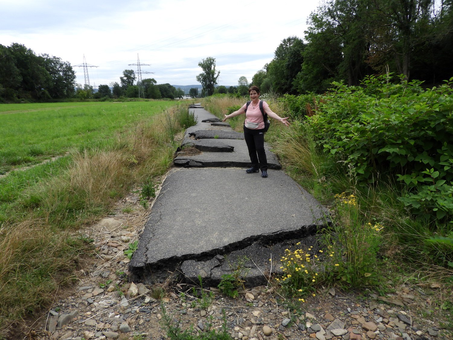 The flood devastated road
We passed the Ehrenfriedhof war cemetery and then came to what we first imagined to be a traveller's village; a mishmash of vans, tents, rickety huts, old camper-vans and the like. A pop concert site of some sort we first thought and with curiosity I asked a young couple what the site was all about. In a conversation of mixed English and German with them we learned it was an animal rescue site which was set up after the devastating floods along the entire length of the Ahr river valley in July 2021. Just twelve months ago. We did not know anything about it. The youngsters then told us the bridge we planned to cross was no longer there, washed away in the floods of last year. It all seemed surreal as the river was no more than a trickle now but as we walked along on our way the powerful devastating effect of flooding water was clear for us to see. Not only was the bridge gone. The road was gone too, shattered into little pieces. Still, we followed it, having being offered no signed diversion alternative. So far the signage on the walk had been exemplary but we had walked to this point of difficulty without warning. I thought "What to do now eh?".
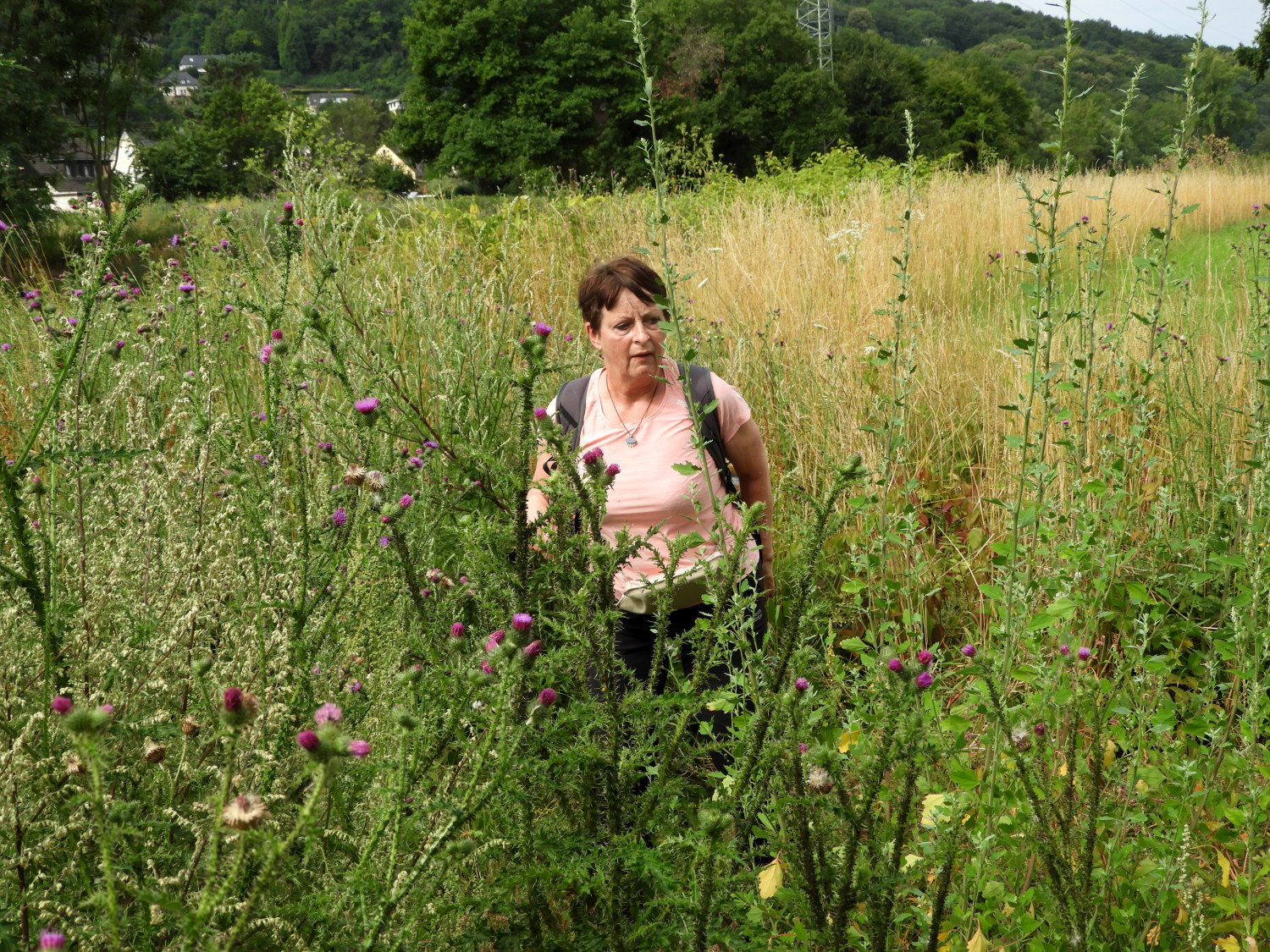 Finding a way through the scrub to Sinzig
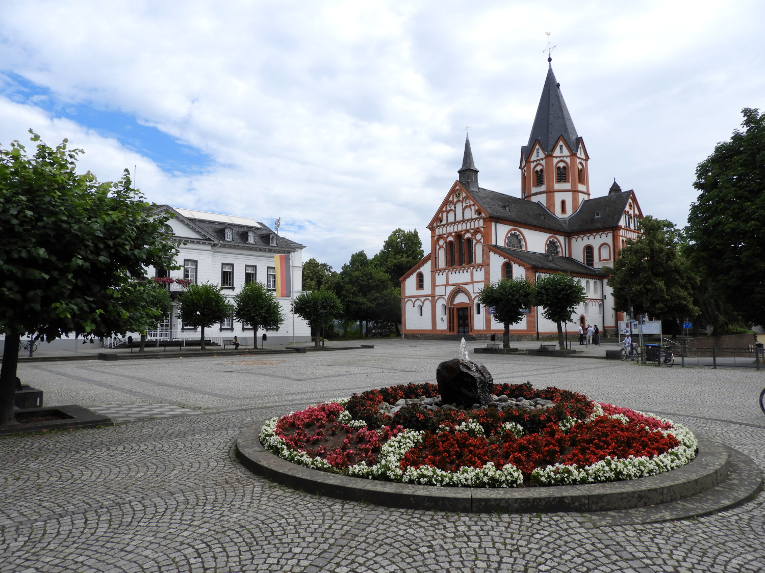 The beautiful town square in Sinzig
Looking at the map we had two alternatives. The first, backtrack to Bad Bodendorf and follow the road into Sinzig. The second, keep along the riverbank to the Sinzig Mineral Water factory and on to the road-bridge. Cross that and we would be back on track. The terrain was scrub with high plants, grasses and weeds but doable. And we did it without too much of a problem. Only the odd scratch from a thistle being evidence of our temporary forced detour from the proper route. Back on track, we followed Kölner Straße into the centre of Sinzig. And in Sinzig, after the tribulations of the lost bridge, we stayed at a cafe in the pretty town square for another coffee and to watch the world go by for twenty minutes or so. It was the perfect prelude to spending the remainder of the stage in the hills.
 Climbing from Sinzig to forest
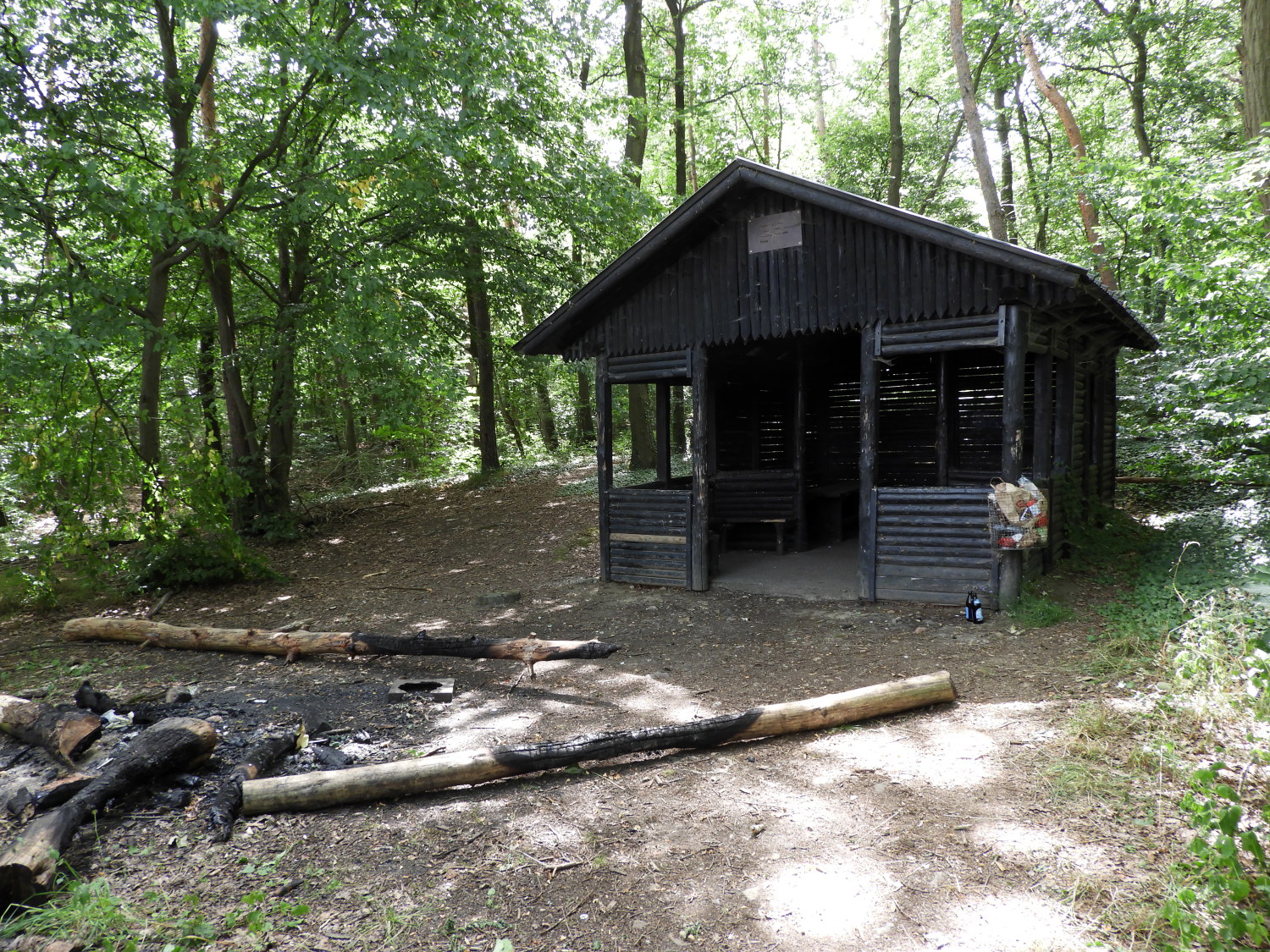 Forest hut, home to a recent party
We followed the Am Wadenburg/ Zimertsweg road leading directly south from Sinzig, ascending gently all the way up into the forests south of the town. From town to forest was a mile of walking which included climbing about 140 metres, the last uphill of the day. On entering the forest, where tarmac gave way to unmade ground, we passed a forest hut which was looking its most uninviting. Litter was strewn all over the place and half burned tree trunks were scattered outside. It was sadly obvious there had been a wild party here just recently and the party goers had left with no intention of tidying up the site. So instead of stopping at the hut we moved a little further on into the forest and found a bench to sit on for our lunch break. With all the climbing done for the day, and having just lapsed past noon, it was the appropriate place and time for taking our lunch break.
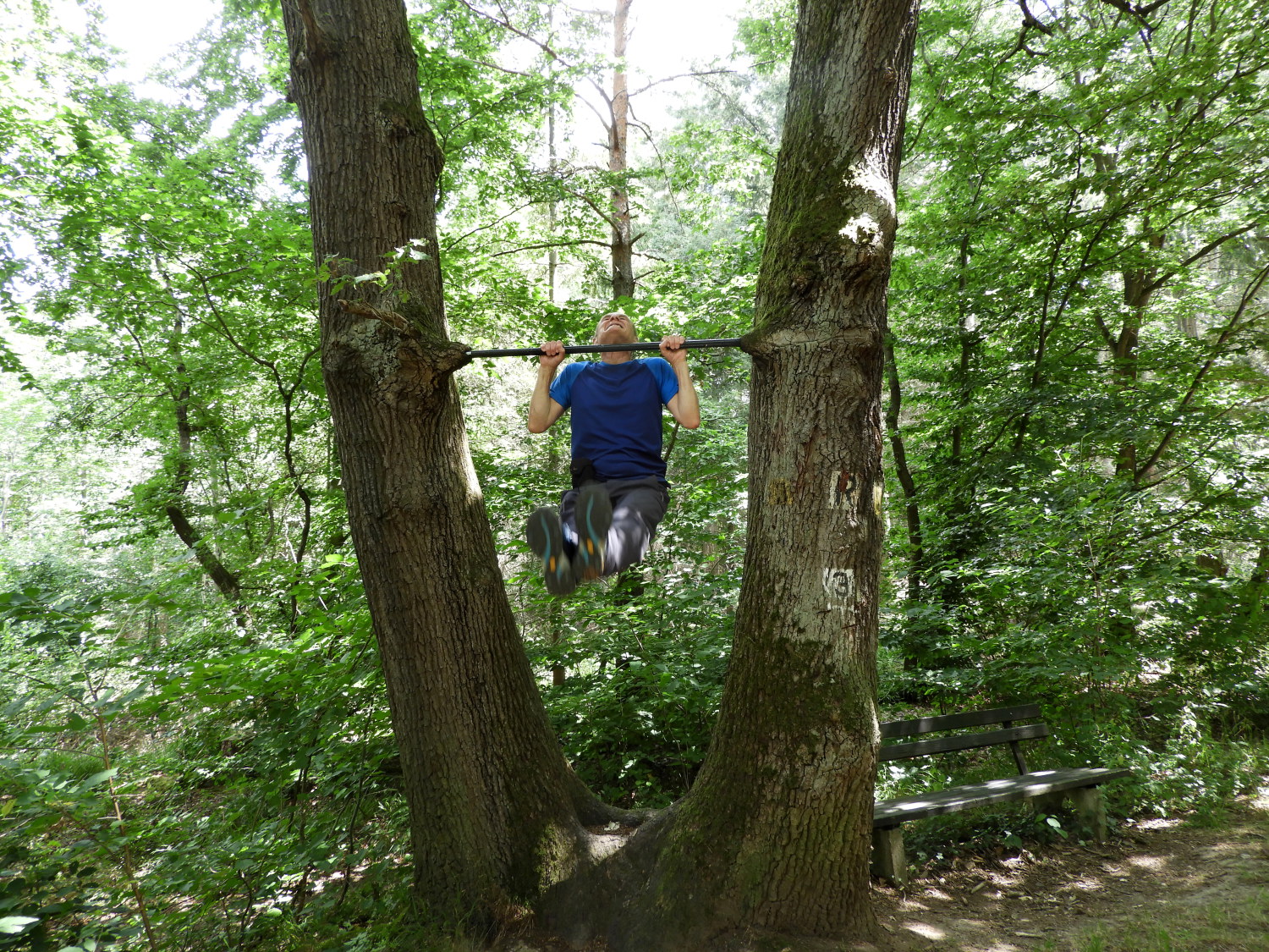 Exercising on the Rheinburgenweg
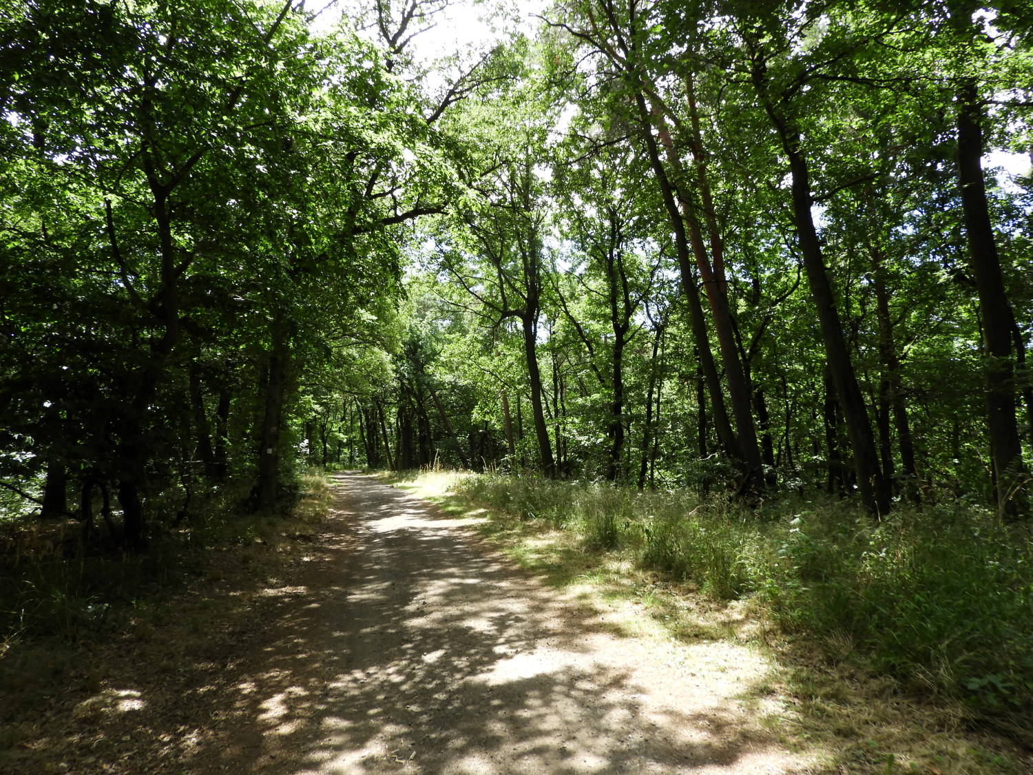 Shade was appreciated as the temperature rose
While enjoying our lunch I spotted a mature oak tree with twin trunks rising from the ground which had a steel bar set into the trunks at about six feet up from the ground. The bar must have been wedged against the tree quite a long time ago because each trunk of the tree had since grown around the edges of the bar and securely fixed it in place. In fact, the tree had not just grown around the bar, it had grown along each end too, making a natural pair of sockets. It was amazing to see. After my lunch I had to go across and exercise on the bar. I hauled myself up to rest my chin on the bar. Just once, with the maximum effort. Still, not bad for a 66 year old. A decade ago it would have much easier to lift myself up and repeat it a few times.
 A very welcome bench
 Beautiful views overhead
Over the last hour, from Sinzig and into the forest for lunch, blue skies had begun to appear overhead and now, on resumption of the walk, the sun had started to break out. With it doing so the day warmed up and the pleasant walking temperature of the first half of our day had now become stifling. In truth, it became very hot very quickly. From seeking the sunshine we opted to seek the shade, walking on the side of the wide forest track which offered most respite from light. We both covered our heads with lightweight tubes to keep the sun from frying our bonces. My follicular challenged one in particular!
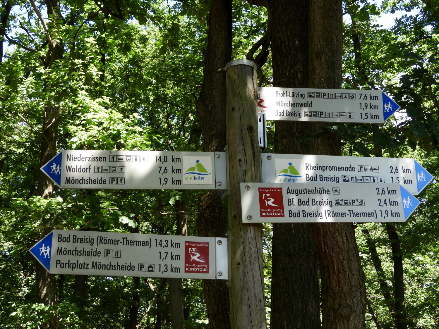
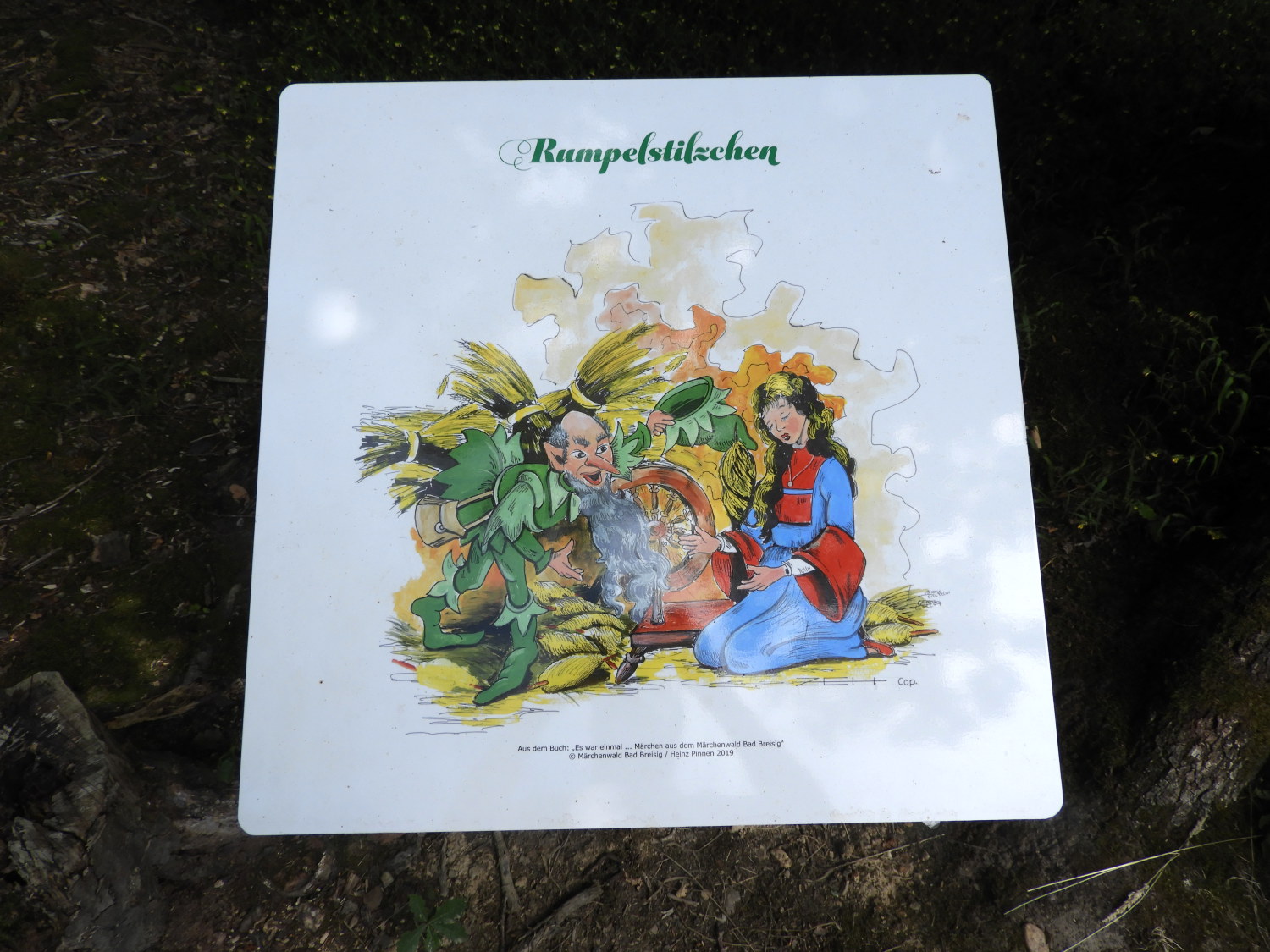 On the Fairytale Trail near Bad Breisig
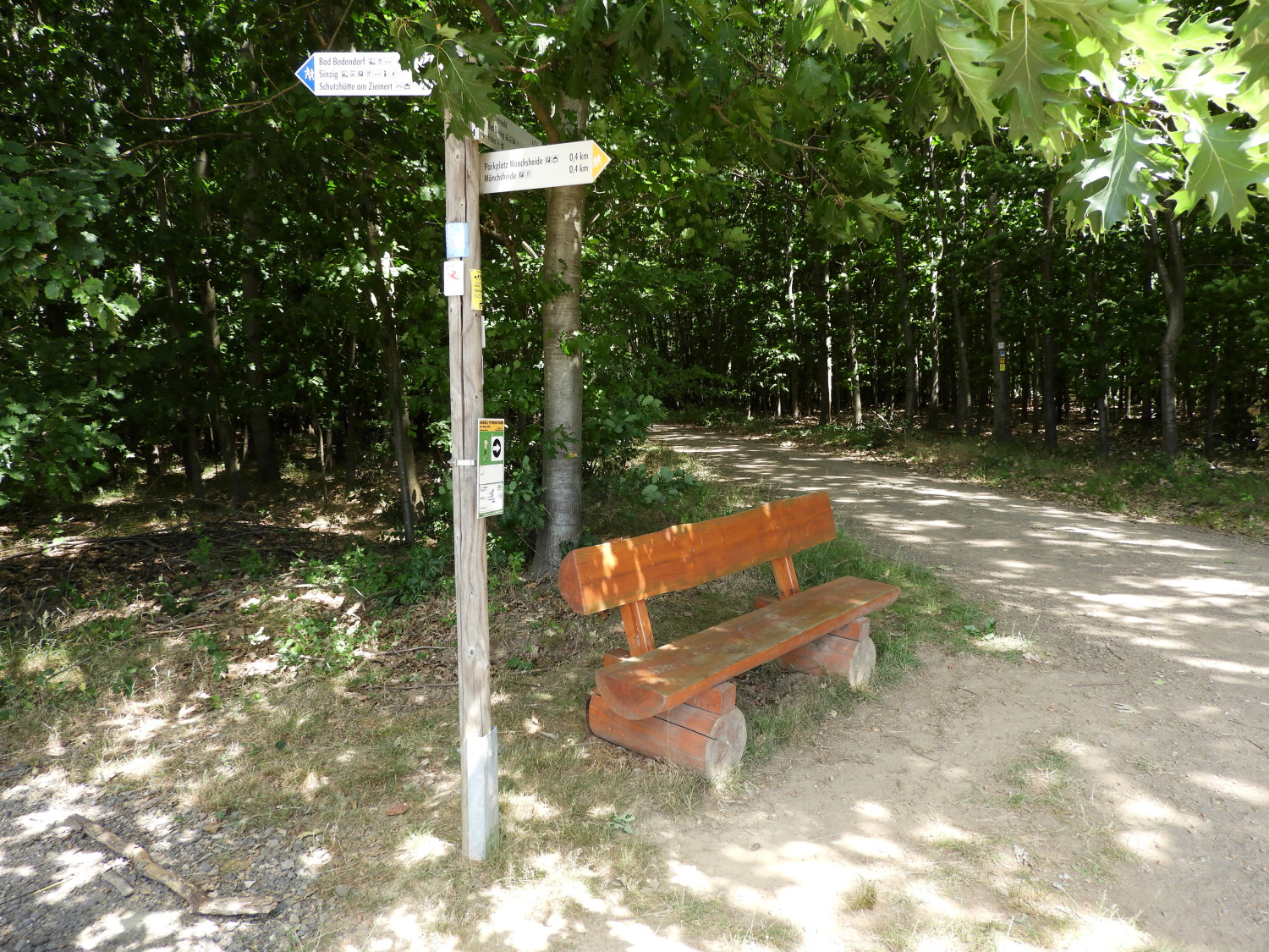
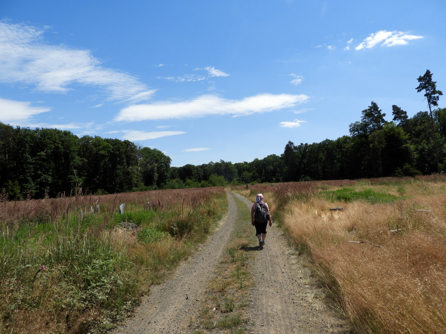 Crossing the Mönchsheide plateau
After a while, at Monchscheide, we turned from the south course we had been on since Sinzig, to head north eastwards and during this stretch of forest we came to a colourful sign which read 'Der wolf und der sieben geíßlein'. Soon after we came to a second one which showed 'Rumpelstilzchen'. Without knowing we had walked into the Fairytale Forest of Bad Breisig, part of the much larger German Fairy Tale Route which runs through the country. Still hot though, now getting towards the heat of the day, a stretch of 500 metres or so of walking fully exposed in a forest clearing was not fun. In the picture above, Lil and I are desperately making our way to the trees in the distance, hoping to get out of the sun. with sun beating down and not a breath of wind it was so stifling.
 Busy hikers meeting of paths
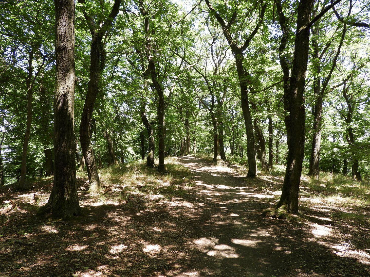 Through the woods near Bad Breisig
Going as fast as we could without overheating and without stopping, we made it into the cover, relieved to have done so. Both of us stooping down, hands on knees and catching our breath for a minute or so afterwards. Back upright we soon spotted 'Schneeweißchen und Rosenrot', our third fairytale of our particular forest trail. And then a little further on towards Bad Breisig we came to our fourth and final fairytale, 'Hansel and Gretel' which was the one most familiar to me. Where these later two fairy tales were, beyond the hot spit roast of a clearing we had not enjoyed, the forest morphed into very pretty woodland, the path now narrower and meandering through the trees as we lost height and began the gradual descent to the end point of our second stage. Lil and I had been grumpy earlier, second day of long walk syndrome, our sunken moods and complaining not being helped by the detour through scrub. Now we were bouncing along with beaming smiles. So much so, we found time for a little more exercise.
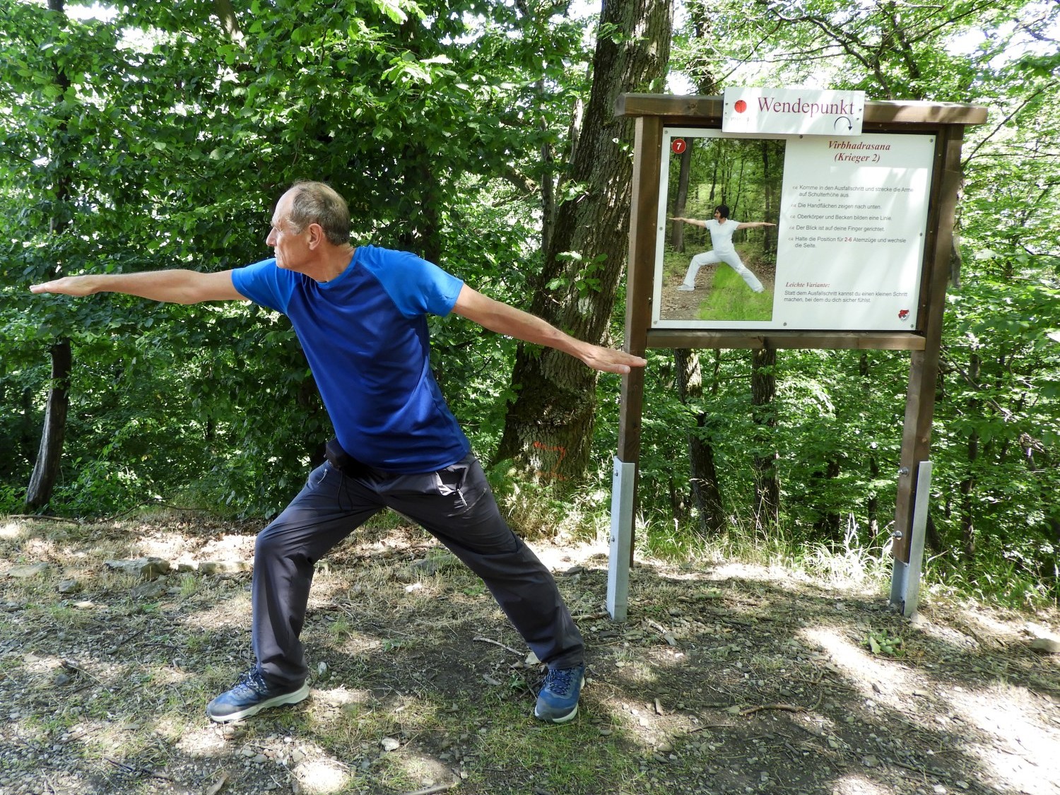 Striking a pose on the Yoga Trail
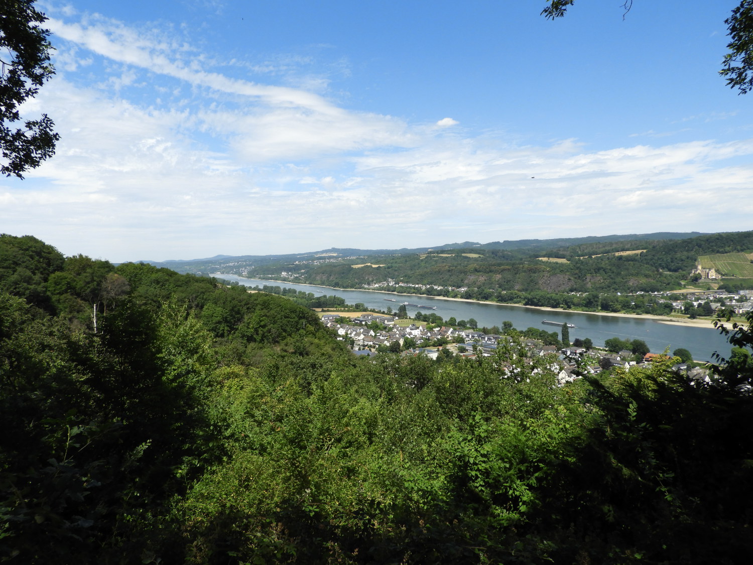 Arrival above Bad Breisig
There were not just a series of fairy tale signs around this part of our walk towards Bad Breisig. Other signs, non fairy tale, had read first 'Utkattatasana (Machtpose)', second 'Ha- Pranayam' (HA-Atmung), third 'Svadhishthanchakra dhayana (Zentrum spuren)' and finally 'Virbhadrasana (Kreiger 2)'. We were also following part of a twelve stations Yoga Trail. Having completed our interpretations of one third of the yoga positions we felt a little more supple when arriving at the lovely viewpoint of the Rhine on what appears to be the site of an ancient hill fort just north of Bad Breisig. We sat at the viewpoint, chilling out for half an hour before descending into the town and finding our nights accommodation. Early morning meeting with Woody Woodpecker and his pals, gorgeous timber framed village, exciting Amazon jungle like detour through scrub, moans and groans done and dusted for the duration, reinvigorating lunchtime with exercises, attritional heat, fairy tales, yoga lessons, stunning views. What more could we want? What next? Can't wait.


