Rhine Castles Trail (Rheinburgenweg)
A personal record of my walk of the Rhine Castles Trail (Rheinburgenweg) with a written journal and with photographs. Tracklogs for GPS units and for use with Google Earth are available for download for each stage.
Journal, Photographs and Download Files
Stage Thirteen - Oberheimbach to Bingen
Google Maps Open Source Maps| Statistics and Files | ||
|---|---|---|
| Start: Oberheimbach | Finish: Bingen | Distance: 8.1 miles (13.0 km) |
| Time: 4 hours | Climbing: 60 metres | Rating: Easy |
| GPX Route File | Google Earth File | About the Rheinburgenweg |
| Statistics | |
|---|---|
| Start: Oberheimbach | Finish: Bingen |
| Distance: 8.1 miles (13.0 km) | Time: 4 hours |
| Climbing: 60 metres | Rating: Easy |
| GPX Route File | Google Earth File |
The Walk:
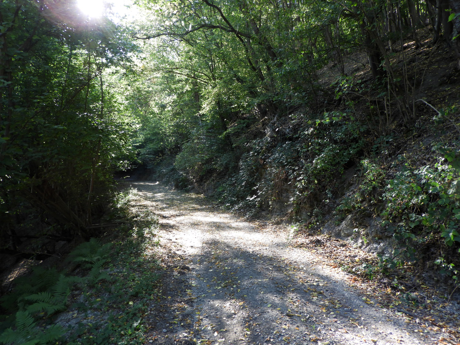 The path from Oberheimbach
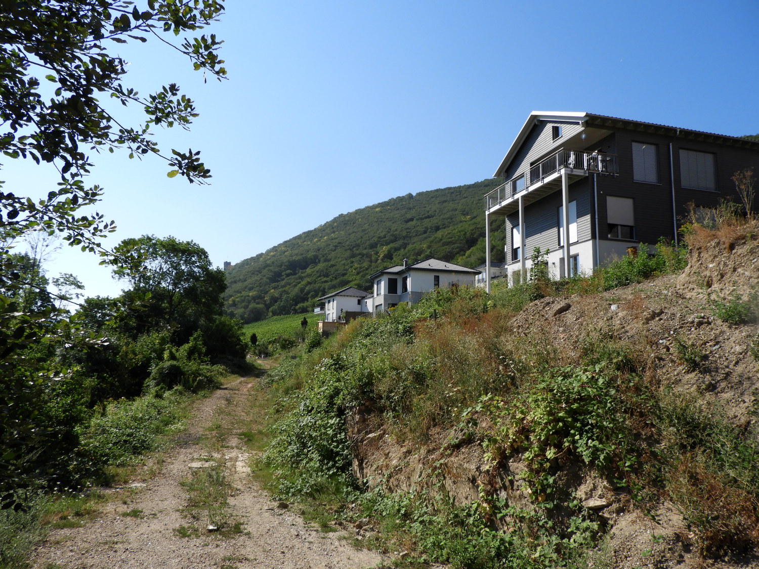 On the outskirts of Niederheimbach
As expected it was another hot day for our finishing stage of our Rhine Castles Trail walk. Less than ten miles to go in the sunshine. Sounds easy. It was anything but. It did not start well either. From our accommodation at Weinburg Schlosschen I could see a path leading up to the trail we needed which would avoid walking a quarter mile the wrong way before switching back. Sure enough the path was there at the beginning but halfway to the required intersection it faded out. " Bugger. Got to go for it now" I said to Lil working my way through thicket and bramble with her close behind. Five minutes later we were up where we needed to be but with me bloodied by thorns and both off us exhausted from the struggle through. "Oh well, its done now. Though walking the extra half mile would have been easier" I admitted. A half hour later we were near Niederheimbach watching early morning sunbathers aboard the Viking Cruiser Hervor sailing up the Rhine.
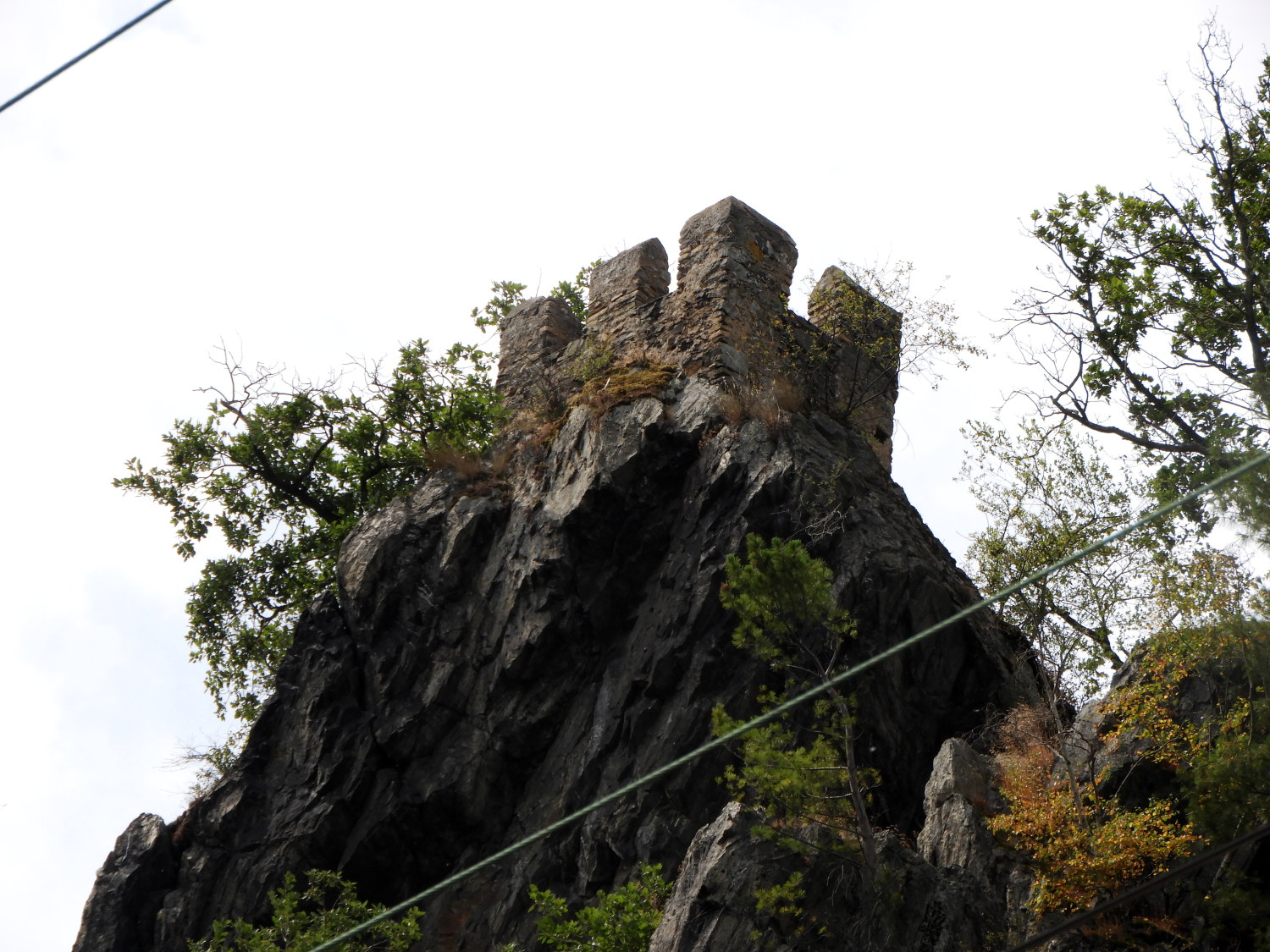
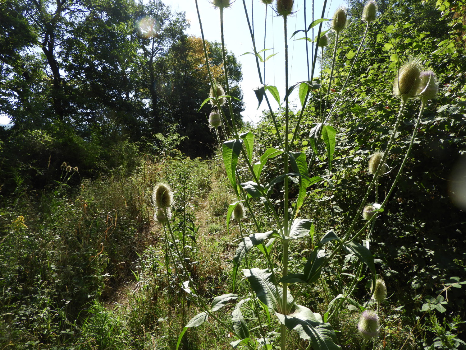 Overgrown pathway
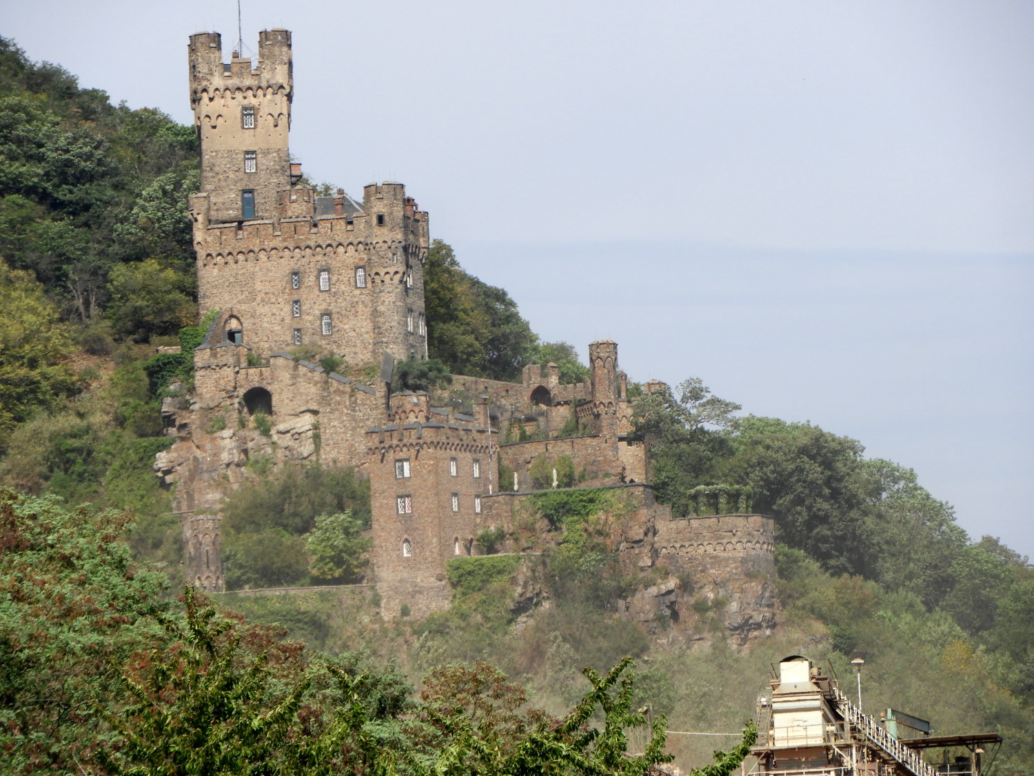 Burg Sooneck
From Niederheimbach the Rheinburgenweg heads up into the hills before descending to Trechtinghausen and then climbing again around Veitsberg and descending to the finish in Bingen. An alternative is to follow the Rhine cycle and pathway all the way and this is what Lil wanted to do. This way we would see the castles between Niederheimbach and Bingen and also get the flavour of being close to the river we had seen from the hills every day thus far. And so we did just that. First sight to behold was that of Burg Sooneck which we would have completely missed out on by going the high route.
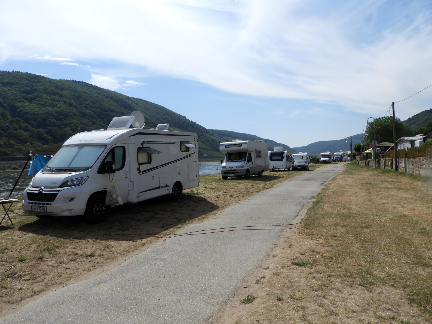 Campingplatz Marienort
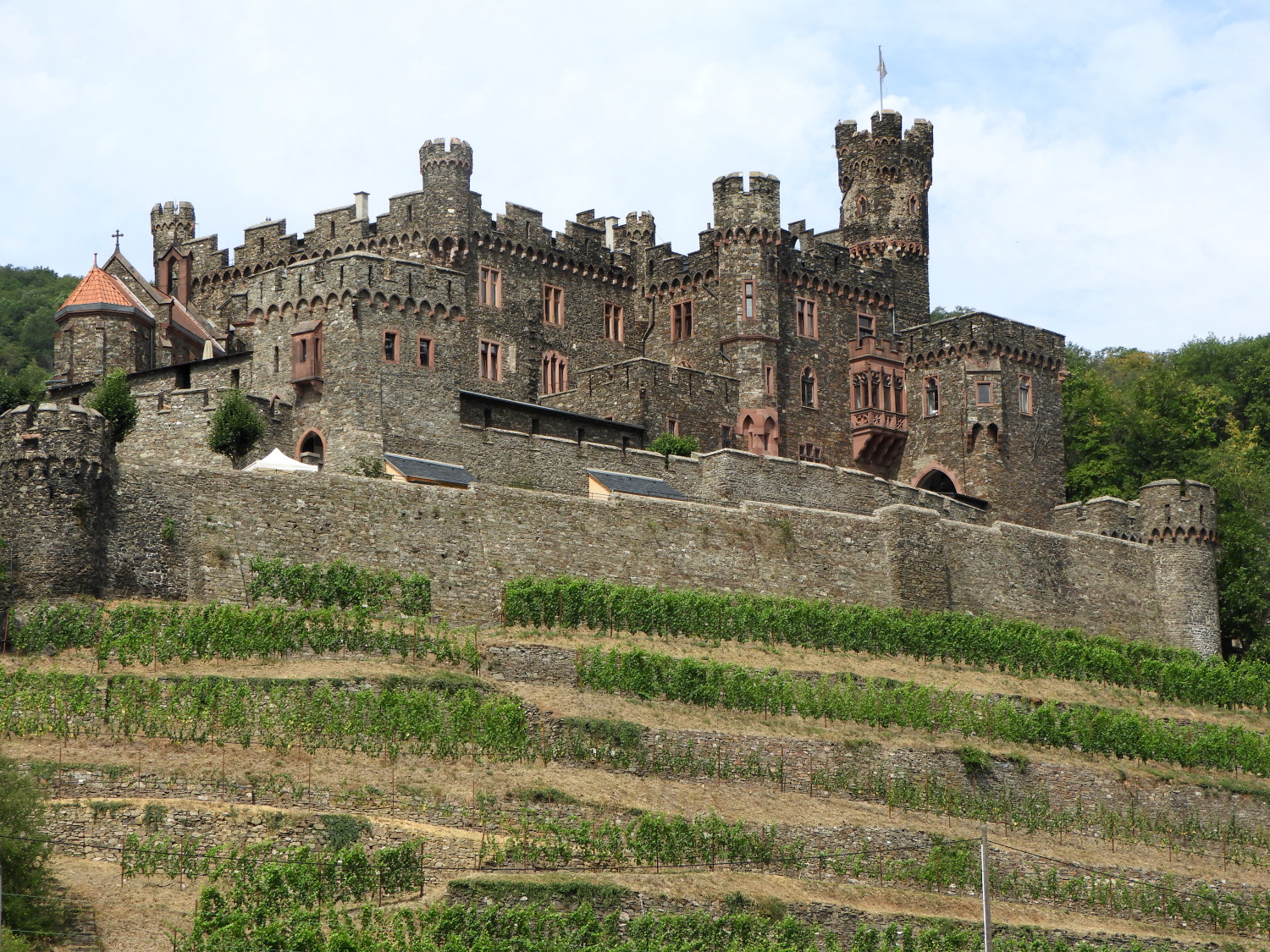 Burg Reichenstein
Soon after passing Burg Sooneck we reached Trechtinghausen where, beside the Rhine, is Campingplatz Marienort. Though we had only been walking a couple of hours by this time it was time for a drink. And why not, we could indulge today. To celebrate the Rhine Castles Trail properly. This time we did find somewhere to get a drink and sit down to enjoy it. A campsite cafe ran by a charming Romanian lady. We enjoyed coffees followed by a bottle of non alcohol beer each and while we did so, with our broken grasps of German we managed to get by and have a chat with the lady. It was a good laugh. Charged up, we continued on through the camp park, turning our heads right to admire Burg Reichenstein. This castle was more like a stately home than its neighbours and it was no surprise to see it is now a hotel and restaurant.
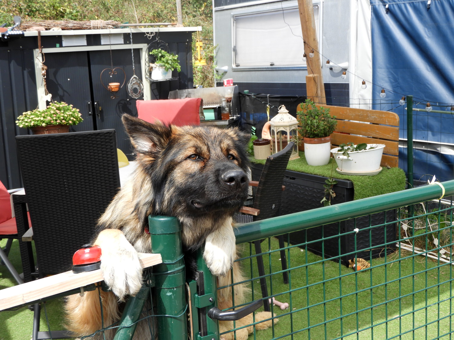 Friendly German Shepherd
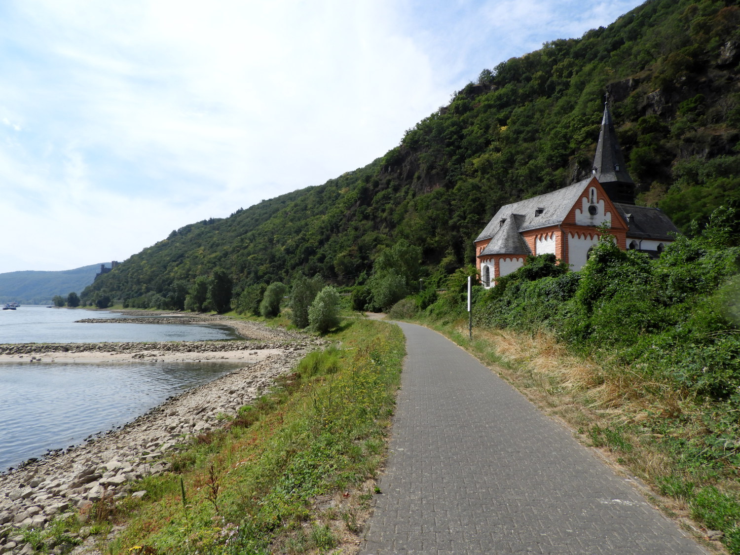 The Rhine side way to Bingen
After saying hello to a welcoming German Shepherd at one of the last static homes in the Campingplatz Marienort we set off on the final stage of our two week long odyssey, a four mile walk on the riverside amenity path to Bingen. Four miles on the level beside the river. Easy eh? Not so. First the path is metalled, that is laid with tarmac. Tough on the feet on a regular day. Tougher on the feet on a baking hot day and with weight on our backs. We took it very easily, Lil asked for Stopsy now and again. And sometimes I made one myself so she didn't have to ask first.
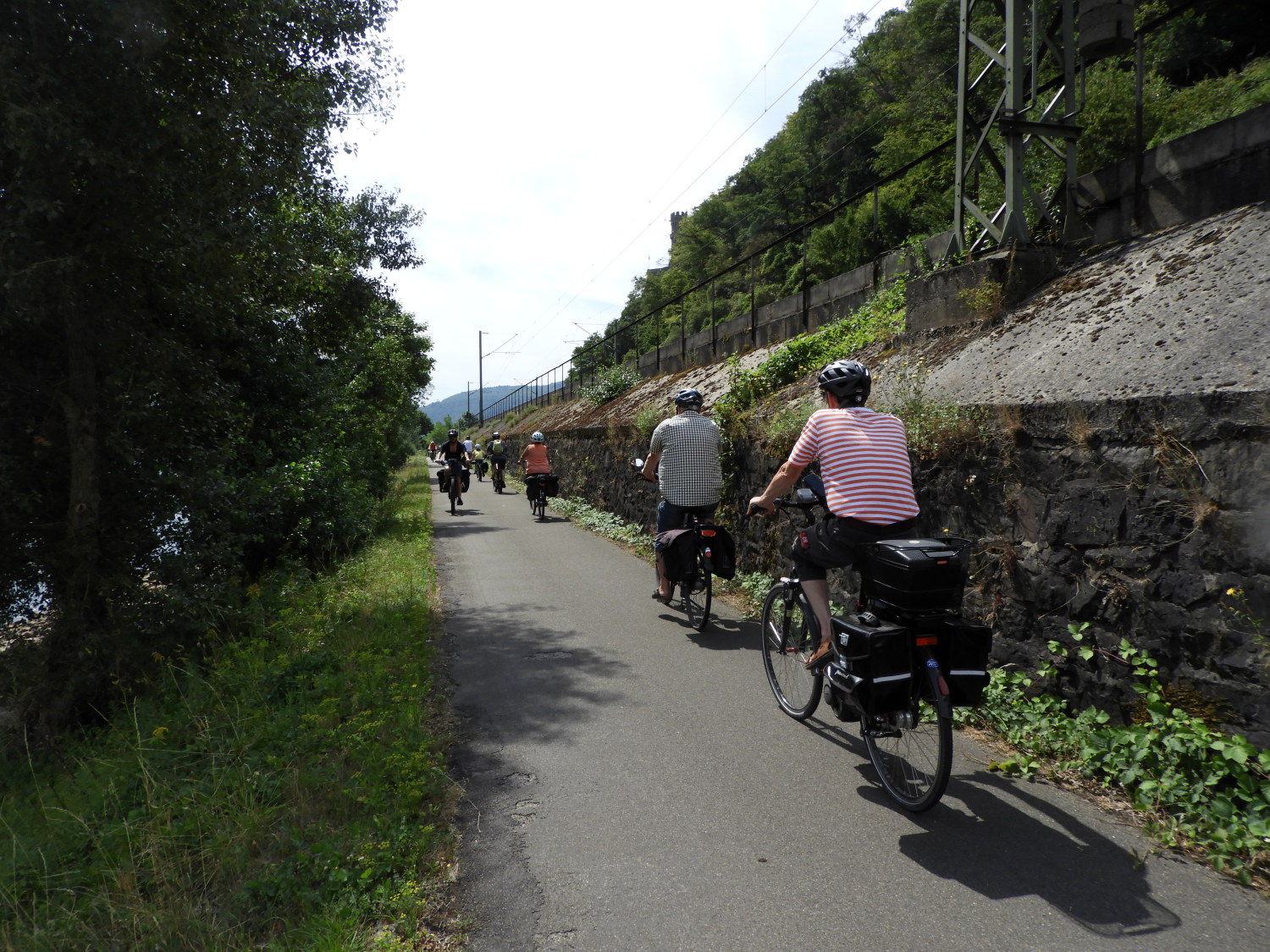 A collection of cyclists
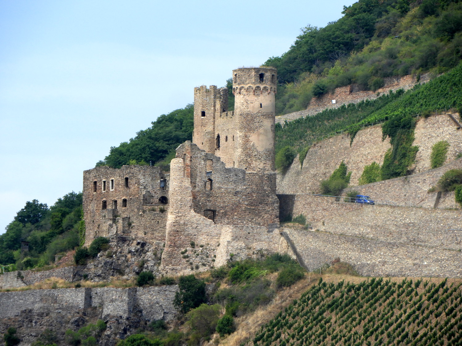
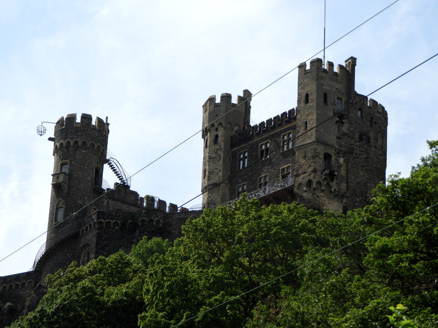 Burg Rheinstein
As well as our self determined stops for a break on the path we have other diversions provided. At regular intervals these were provided by cyclists on the path. There was the odd individual but most were in groups of between two and half a dozen. Some were friends, others were families. It was all very chilled. The next thing I noticed though was not chilled. It was chilling. We approached Burg Rheinstein, much like other medium sized castles we had seen on the Rhine but what I noticed above all on this castle was something I had not seen on the others. A hanging cage was protruding out from one of the castellated turrets which would have been torture for some poor wretch suspended in one. Not fun at all, lets move on.
 Outer keep on the cliff top
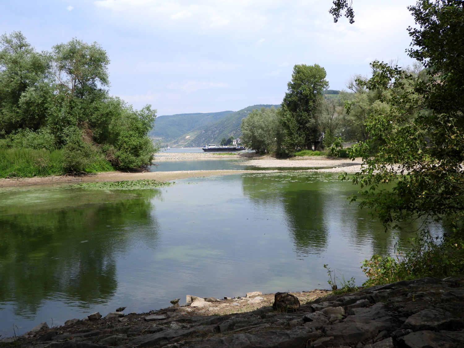
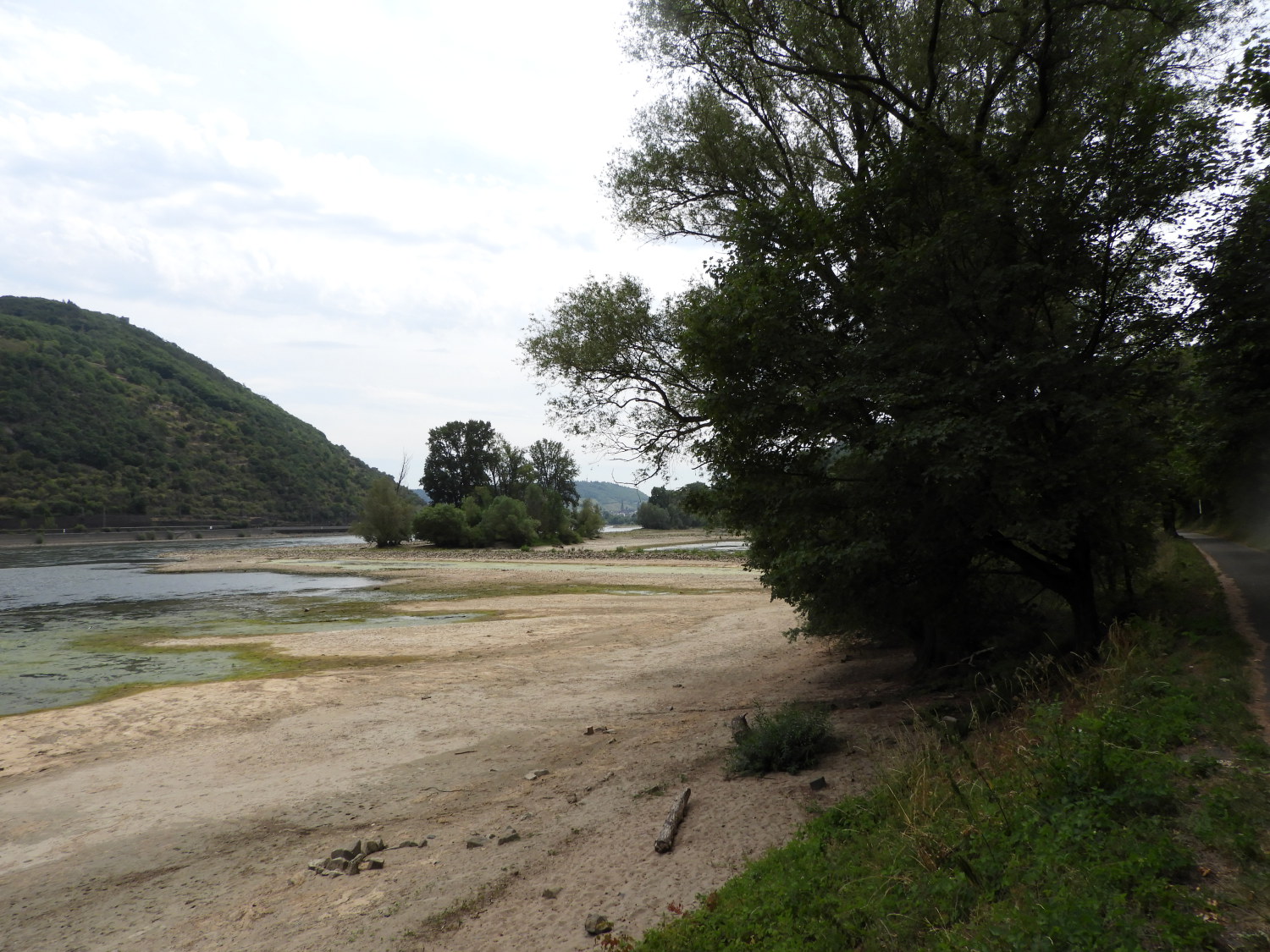 Sandbanks appearing in the low level Rhine
Edging ever closer to the finish, time to reminisce. The earlier days of the Rhine Castles Trail in the north felt a little more remote than these towards the southern end. Those were the days for wildlife experiences. The Buzzards, Woodpeckers, Deer. Also the forests seemed larger and the trees taller. The towns and villages were more like normal everyday too, work and life going on as normal while down here definitely more commercialised. Boppard, Bacharach and Bingen definitely catering for the tourist trade. Get upland from the Rhine though, even at this end, and its the same normal goings on Germany. All in all the Rheinburgenweg, north and south, has been a lovely experience. Everyone we have met has been nice to us. Some have really pushed the boat out to help us on our way. The trails, the paths, the signs, shelter for walkers - all very good too. You just need to know where you can source food and drink and where you cannot. And make sure to cater for Sundays. In brief, we're going to miss this. Still we will have great memories to keep.
 Rheinkribben
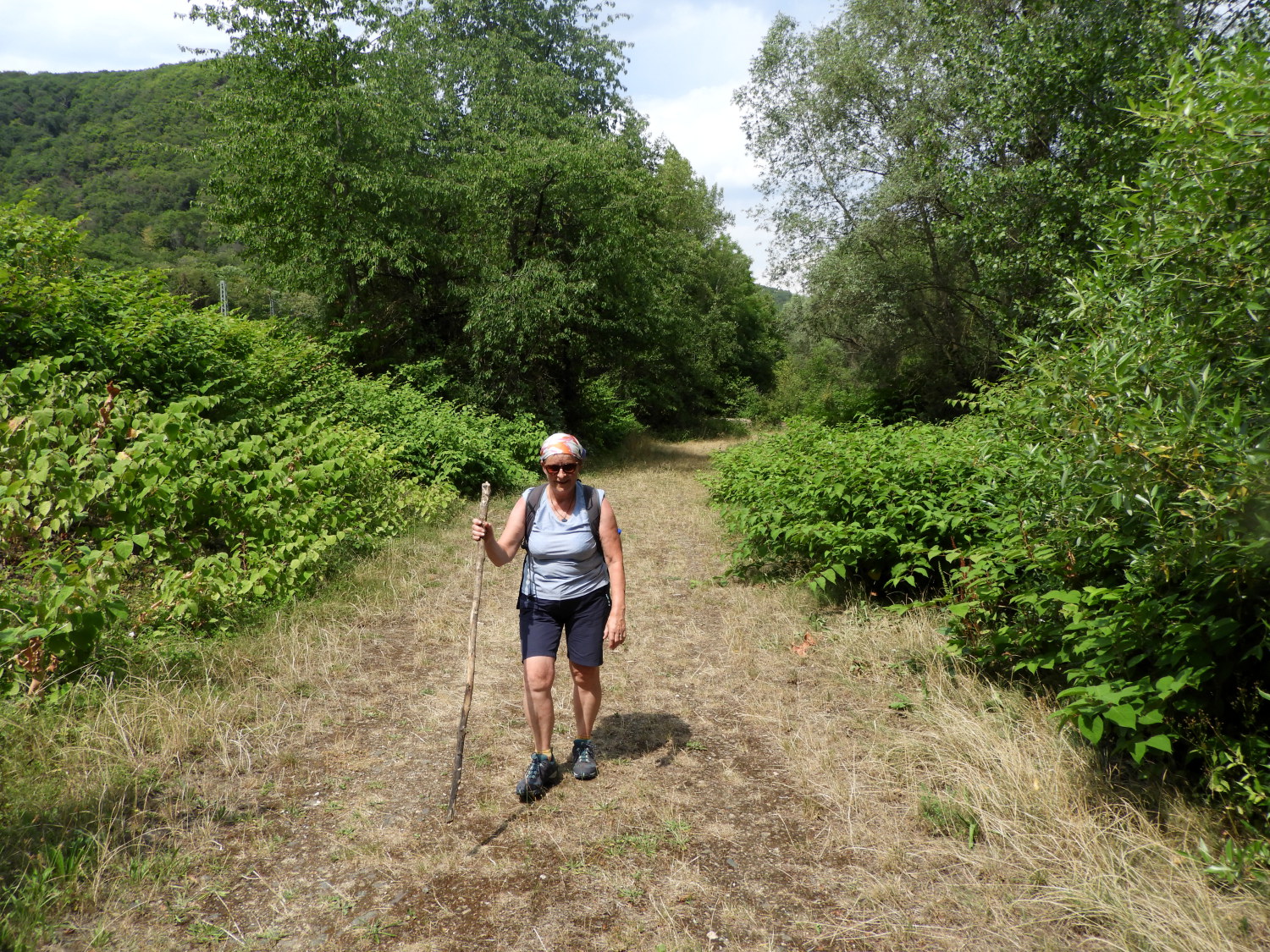 Lil's last hard yards on the Rheinburgenweg
We still have a mile or so to go. And now it is stiflingly hot again so the going is slow. At the nature reserve of Rheinkribben Lil could take a break and have a sit down while I explored a little. Built to alleviate danger to shipping on the Rhine at this point I found the reserve a peaceful harmonious place. A shame though I did not catch sight of the resident Kingfishers. That would have been a nice thing to cap the wildlife aspect of the walk. From Rheinkribben we staggered to the edge of Bingen, hot and bothered by now. Lil was suffering most and begged me not to divert off the path any more.
 End of the walk in Bingen
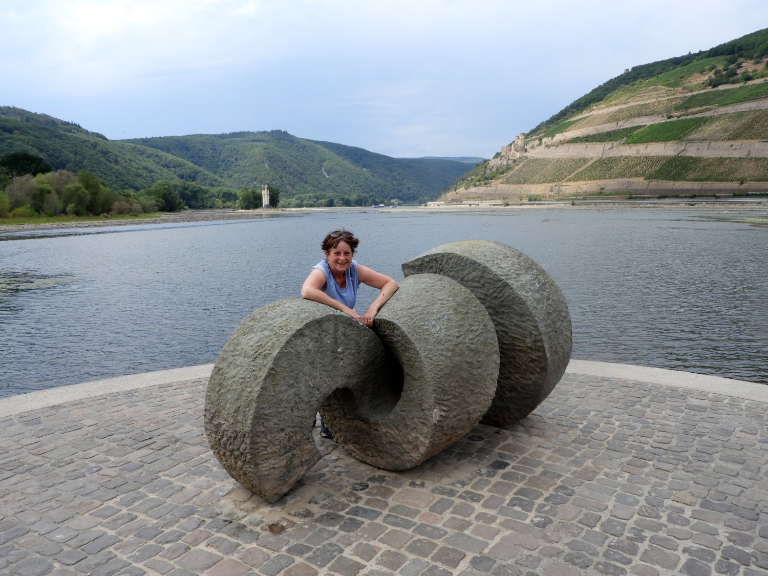
And so we came to the end of our Rhine Castles Trail, finishing at the confluence of the Nahe and Rhine in Bingen am Rhein. In all, over fifteen days and thirteen stages Lil and I had walked near enough 120 miles with 4,000 metres of climbing. Not to mention walking in the afternoons and evenings after the stages. And we did the walk between the 12th and 25th July, 2022. Check the temperatures in the Middle Rhine for those dates and you will see it was very hot. At the end, in this final picture taken, Lil was saying "Michael, just take the bloody picture. I am knackered and I need a rest".
A final note: Thanks for sharing the journey with us. We absolutely loved it. Cheers!


