Wainwright's Coast to Coast Walk
A personal record of my walk in 1999 with written journal and photographs. Tracklogs for GPS units and for use with Google Earth are available for download for each stage.
Journal, Photographs and Download Files
Stage 2: Ennerdale Bridge to Rosthwaite
Google Maps Open Source Maps| Statistics and Files | ||
|---|---|---|
| Start: Ennerdale Bridge | Finish: Rosthwaite | Distance: 14.5 miles (23.3 km) |
| Time: 6-7 hours | Climbing: 1,409 metres | Rating: Strenuous |
| GPX Route File | Google Earth File | About Ennerdale Bridge |
| Statistics | |
|---|---|
| Start: Ennerdale Bridge | Finish: Rosthwaite |
| Distance: 14.5 miles (23.3 km) | Time: 6-7 hours |
| Climbing: 1,409 metres | Rating: Strenuous |
| GPX Route File | Google Earth File |
Ordnance Survey Explorer Map (1:25,000)
Stage Report
Note: The daily records are from my diary written during the course of the walk with additional notes in italics.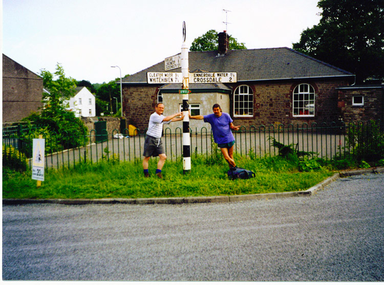 Setting off from Ennerdale Bridge
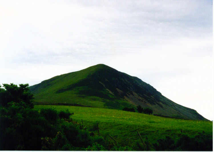 Great Borne
Today has just about to be the most exhilarating days walking ever. Deke and I kept it about as high as we could throughout. The weather was great, warm and with high cloud. A little hazy at times and we even had a short spell where it closed in for about 15 minutes. It actually rained for about 30 seconds while we were at the summit of Haystacks! We did six peaks over 500 metres in height, serious stuff or what.
 Floutern Tarn
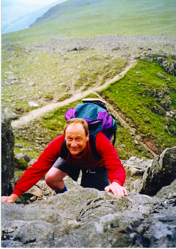 Climbing Great Borne
Hills climbed today were: Great Borne - 616 metres, Starling Dodd - 633 metres, Red Pike - 755 metres, High Stile - 807 metres, High Crag - 744 metres and Haystacks - 597 metres. We were knackered walking in from Haystacks - two really burnt out engines.
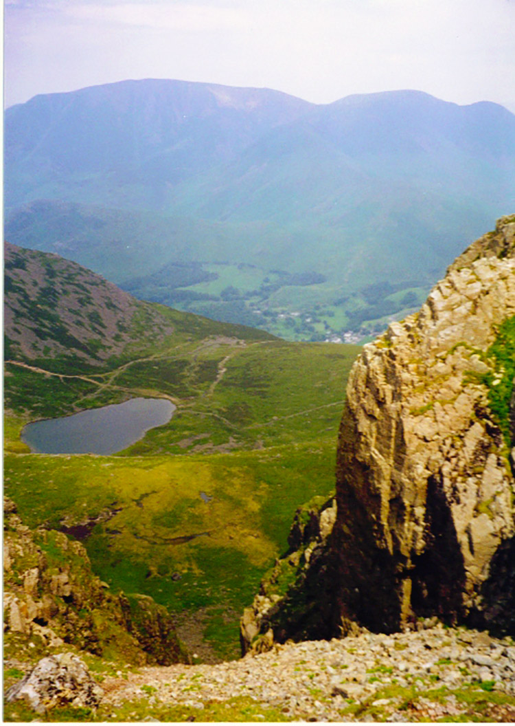
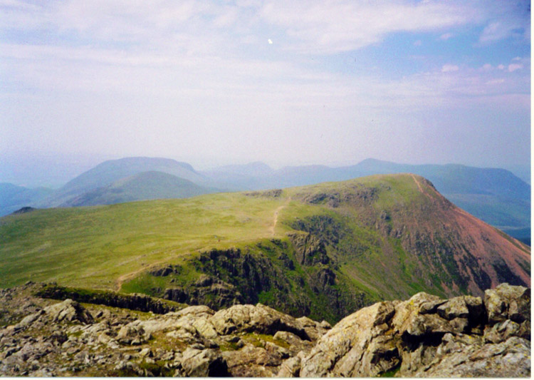 The lofty views from Red Pike
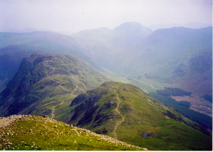 Looking down from High Crag to Seat and Haystacks
The reasons for noting the hills and their heights was because I had challenged myself to climb 50 peaks over 500 metres in the 50 weeks leading up to the millennium as part of a personal challenge I set myself the year before. I did achieve it.
Weather Note: You will note as you read this record, and if you have also read my east to west account, that I was really fortunate with the weather on both crossings. Apart from a few mornings of this walk (all afternoons were excellent) I was fortunate because it is highly unusual to have two weeks of constant good weather, even in early and mid summer as these walks were.


