Wainwright's Coast to Coast Walk
A personal record of my walk in 1999 with written journal and photographs. Tracklogs for GPS units and for use with Google Earth are available for download for each stage.
Journal, Photographs and Download Files
Stage 6: Kirkby Stephen to Keld
Google Maps Open Source Maps| Statistics and Files | ||
|---|---|---|
| Start: Kirkby Stephen | Finish: Keld | Distance: 14 miles (22.5 km) |
| Time: 6-7 hours | Climbing: 831 metres | Rating: Hard |
| GPX Route File | Google Earth File | About Kirkby Stephen |
| Statistics | |
|---|---|
| Start: Kirkby Stephen | Finish: Keld |
| Distance: 14 miles (22.5 km) | Time: 6-7 hours |
| Climbing: 831 metres | Rating: Hard |
| GPX Route File | Google Earth File |
Ordnance Survey Explorer Map (1:25,000)
Stage Report
Note: The daily records are from my diary written during the course of the walk with additional notes in italics.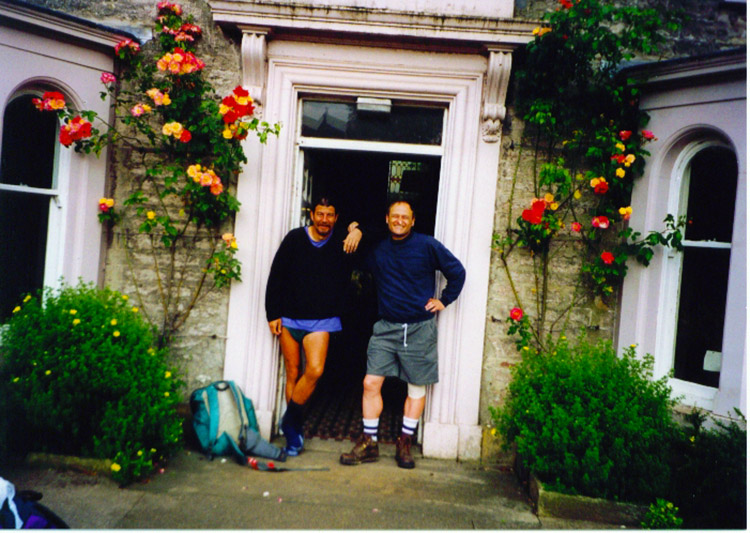 About to set off from Redmayne House
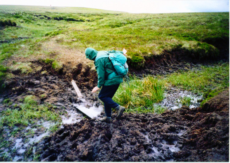 Bogs on the Pennine watershed
The century has been notched up. 100 miles which is 4.5 miles more than if we had followed Wainwrights low level route. In fact Deke and I added over two miles on to the total today by heading off route at Ravenseat in Whitsundale towards the Tan House Inn in order to bag Roberts Seat. My left leg and foot are still really bad but I have now invested over £15 in false skin, bandages and support stockings to keep me going. Today's leg was forecast fine and sunny. It was fine I suppose but sunshine was very limited. Once again, as five years ago, Nine Standards was windy, cold and bleak.
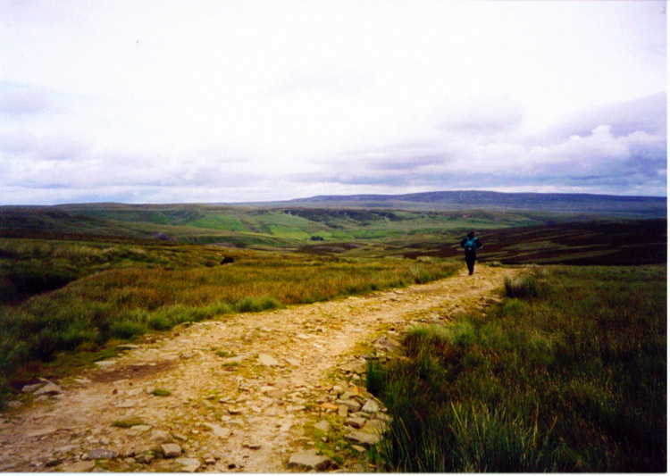 Walking down into Whitsun Dale
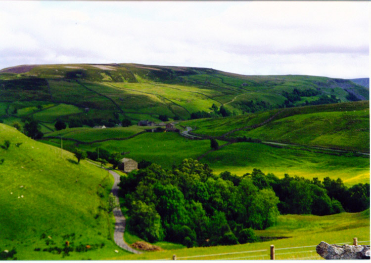 Swaledale
The bogs were a little more supporting than when Steve, Dave and I encountered them five years ago, but only just. Nevertheless (and considering the condition of my left lower limb) we made good progress and I managed to keep Deke company this time. It was still a hard slog and I had to concentrate on every step I took. I expect better soon.
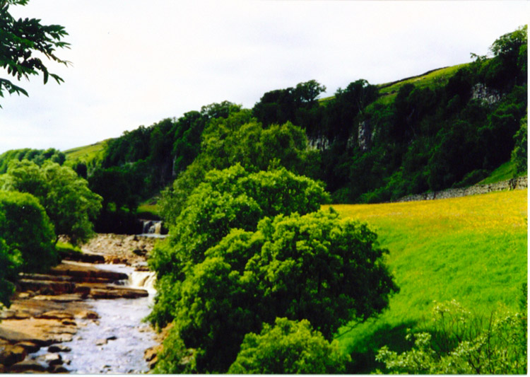 River Swale
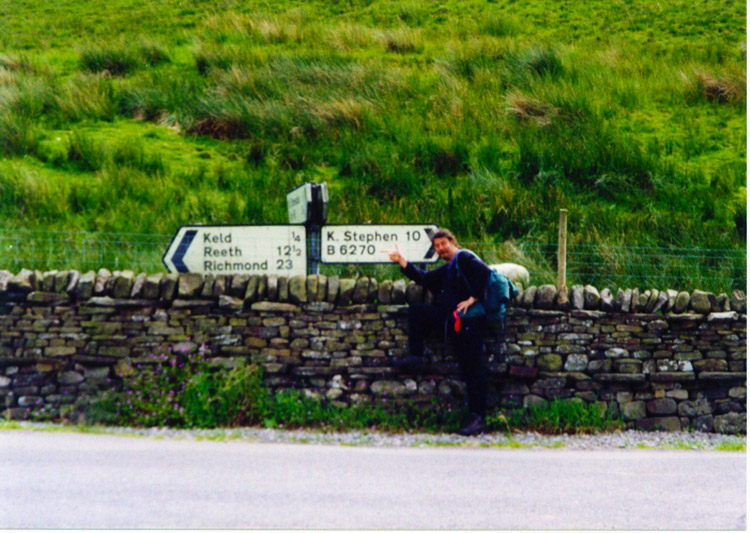 Keld is practically half way
I don't know if it's just been hard luck on my two crossings of the Pennine watershed but the clouds just seem to hang about on there all the time. It makes the walking very difficult for a while and I can almost guarantee your boots will get a soaking. The stretch of moorland between Nine Standards and Whitsun Dale is not only wet underfoot but featureless. It serves a purpose though in creating many of the splendid rivers of Northern England.
Note - Due to the wet going and erosion on the watershed there are 3 designated routes over the moor. The one you take is determined by season and by The Yorkshire Dales Park Authority.


