Wainwright's Coast to Coast Walk
A personal record of my walk in 1999 with written journal and photographs. Tracklogs for GPS units and for use with Google Earth are available for download for each stage.
Journal, Photographs and Download Files
Stage 11: Clay Bank Top to Glaisdale
Google Maps Open Source Maps| Statistics and Files | ||
|---|---|---|
| Start: Clay Bank Top | Finish: Glaisdale | Distance: 18.5 miles (29.8 km) |
| Time: 7-9 hours | Climbing: 463 metres | Rating: Strenuous |
| GPX Route File | Google Earth File | About the Cleveland Hills |
| Statistics | |
|---|---|
| Start: Clay Bank Top | Finish: Glaisdale |
| Distance: 18.5 miles (29.8 km) | Time: 7-9 hours |
| Climbing: 463 metres | Rating: Strenuous |
| GPX Route File | Google Earth File |
Ordnance Survey Explorer Map (1:25,000)
Stage Report
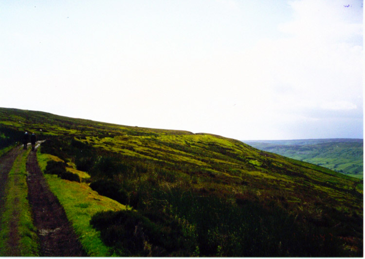
Note: The daily records are from my diary written during the course of the walk with additional notes in italics.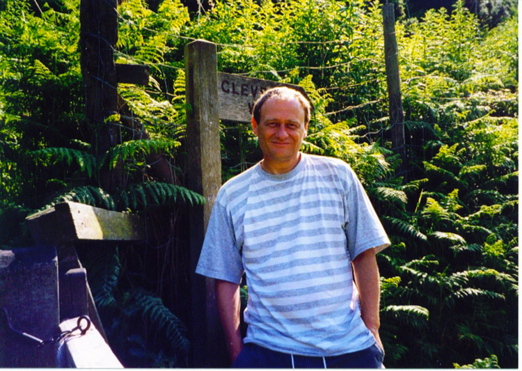 Solo walking from Clay Bank Top
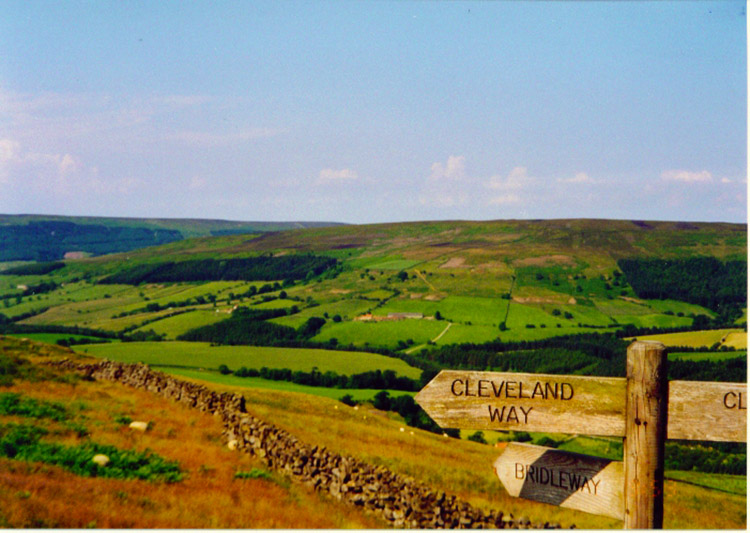 Today's start follows the Cleveland Way
I woke to a fantastic sunny day and the weather was back on a par with the first two days of the journey. With Deke now ensconced back in Knaresborough I was now alone for the remainder of the walk. Or so I thought. In fact despite being officially solo I did enjoy the company of other Coast to Coast walkers from time to time. In fact I walked with new friends soon after leaving Clay Bank Top.
 The Cleveland Hills
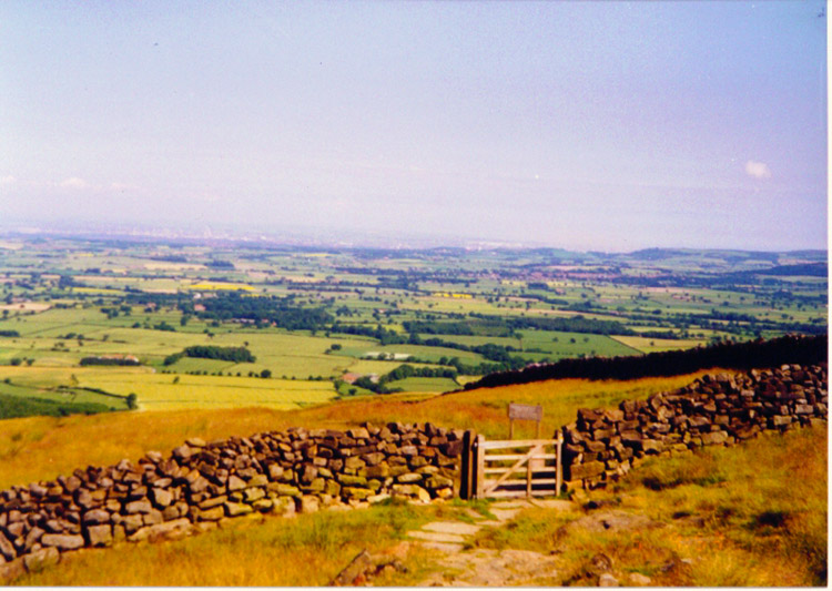 Beautiful North Yorkshire
I enjoyed a lovely walk across the moors to Blakey and the Lion Inn with Chris and Zarina Brewer, a couple who have become friends during the course of this walk. Chris and Zarina were their usual great company and after enjoying a break at the Lion Inn with two pints of lager with scones in jam and cream I bid them a temporary farewell and was off like a steam train.
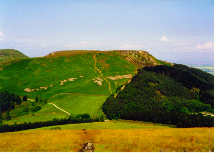
 Following the old railway line across Farndale Moor
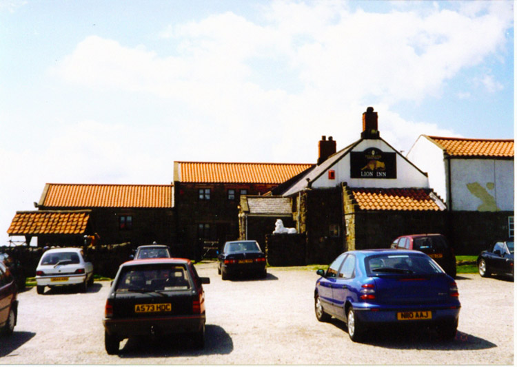 The Lion Inn at Blakey Howe
During this section I felt absolutely fantastic. I can recommend this walk to anyone who is feeling a little run down and wants to make themselves fit again and also to give themselves a feel good factor. A highly recommended remedy for lethargy. I delighted in lovely sights off the moors, in particular Great Fryup Dale. What a super name for an area. Also, this time of year is the best to be out on the moors as the heather in bloom is looking good now.
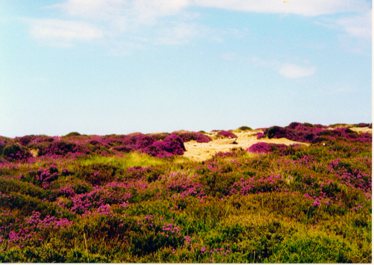 Blossoming Heather on Glaisdale Moor
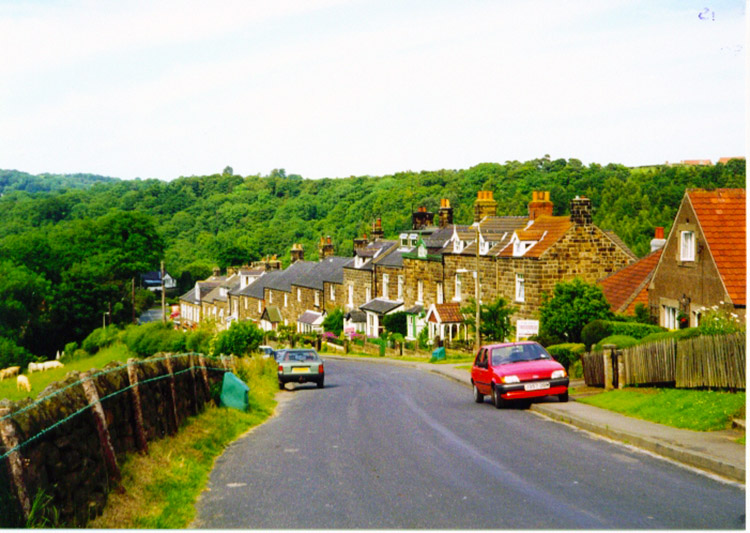 Glaisdale
I am in the Arncliffe Arms in Glaisdale now. Steve and Dave do you remember the karaoke last time I was here, and do you want to remember the photographs we took in the room afterwards - some fine figures of men we are in those snaps! Back to the walk, two days of bliss to go. I hope the weather holds fair.


