Wainwright's Coast to Coast Walk
A personal record of my walk in 1999 with written journal and photographs. Tracklogs for GPS units and for use with Google Earth are available for download for each stage.
Journal, Photographs and Download Files
Stage 8: Grinton Lodge to Catterick Bridge
Google Maps Open Source Maps| Statistics and Files | ||
|---|---|---|
| Start: Grinton Lodge | Finish: Catterick Bridge | Distance: 14 miles (22.5 km) |
| Time: 6-7 hours | Climbing: 526 metres | Rating: Hard |
| GPX Route File | Google Earth File | About Grinton Lodge |
| Statistics | |
|---|---|
| Start: Grinton Lodge | Finish: Catterick Bridge |
| Distance: 14 miles (22.5 km) | Time: 6-7 hours |
| Climbing: 526 metres | Rating: Hard |
| GPX Route File | Google Earth File |
Ordnance Survey Explorer Map (1:25,000)
Stage Report
Note: The daily records are from my diary written during the course of the walk with additional notes in italics.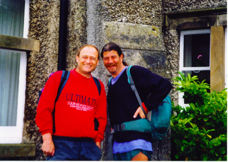 Outside Grinton Lodge Youth Hostel
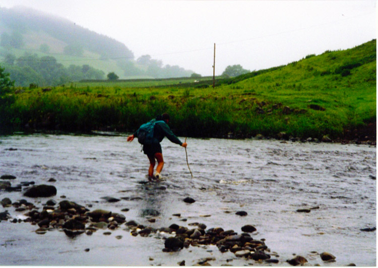 Deke wades across the River Swale
Reeth was only seen in the distance during this Coast to Coast walk as Deke and I left Grinton Lodge on a direct path towards Marrick. The paths were clear although we added a little distance by going to our left at Cogden Hall when we should have gone right. A spell of road walking followed and we soldiered on to the river. My pains and swellings were a tadge better but still with me. I could walk with a decent pace now though and kept up with Deke once more. We reached Marrick Abbey but suddenly came across an obstacle - THE RIVER SWALE!! On the map it indicated an old ford crossing but it had never been used in donkeys. The river was in a good flow following recent rain and caused the two of us to hesitate. It was a case of 3 miles back or off with the trousers. Off with the trousers it was and we crossed gingerly with the aid of large sticks as supports. We both managed to get across without falling in the river which was surprising.
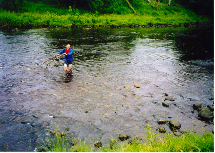 I wade over the river with a bigger stick!
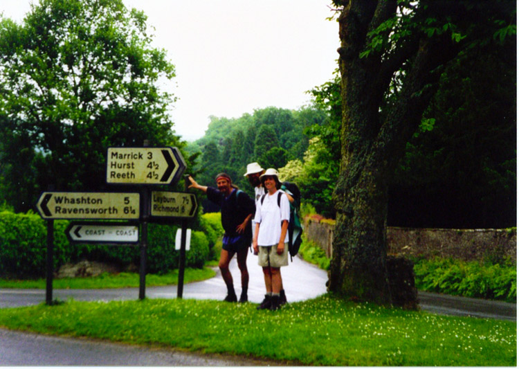 Deke and our Canadian friends in Marske
Onwards to Richmond via the traditional route including a low level alternative near the town which saved us nothing at all. We had lunch in the square and then continued on to Catterick Bridge. When we got there we met pre-arranged transportation. At this stage it was bye to Deke who was leaving the walk now. My companion for the last eight days left at Northallerton Station. After a yummy fish and chip lunch I headed straight for my sister Anne's bathroom for a long soak in soothing ointments followed by a massage of the aching knee and feet - bliss!
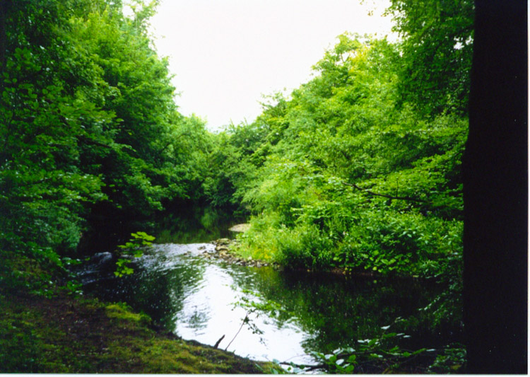 Pond near the Swale at Colburn Hall
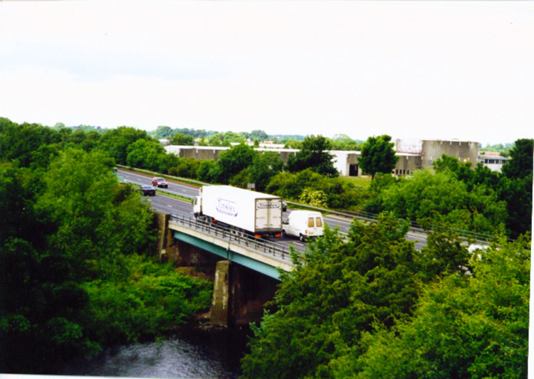 Crossing the A1 motorway
A final note - Thanks Deke, a great companion on a truly great walk. I will remember all the splendid conversations, the guidance you gave me, your natural history knowledge which is extensive, and your snoring...which is very noisy!


