Wainwright's Coast to Coast Walk
A personal record of my walk in 1999 with written journal and photographs. Tracklogs for GPS units and for use with Google Earth are available for download for each stage.
Journal, Photographs and Download Files
Stage 10: Ingleby Cross to Clay Bank Top
Google Maps Open Source Maps| Statistics and Files | ||
|---|---|---|
| Start: Ingleby Cross | Finish: Clay Bank Top | Distance: 11.2 miles (18 km) |
| Time: 5-6 hours | Climbing: 927 metres | Rating: Hard |
| GPX Route File | Google Earth File | About Ingleby Arncliffe |
| Statistics | |
|---|---|
| Start: Ingleby Cross | Finish: Clay Bank Top |
| Distance: 11.2 miles (18 km) | Time: 5-6 hours |
| Climbing: 927 metres | Rating: Hard |
| GPX Route File | Google Earth File |
Ordnance Survey Explorer Map (1:25,000)
Stage Report
Note: The daily records are from my diary written during the course of the walk with additional notes in italics.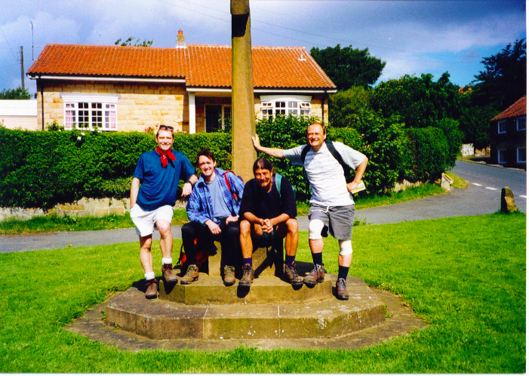 Jez, Chris and Deke (again) join me on today's leg
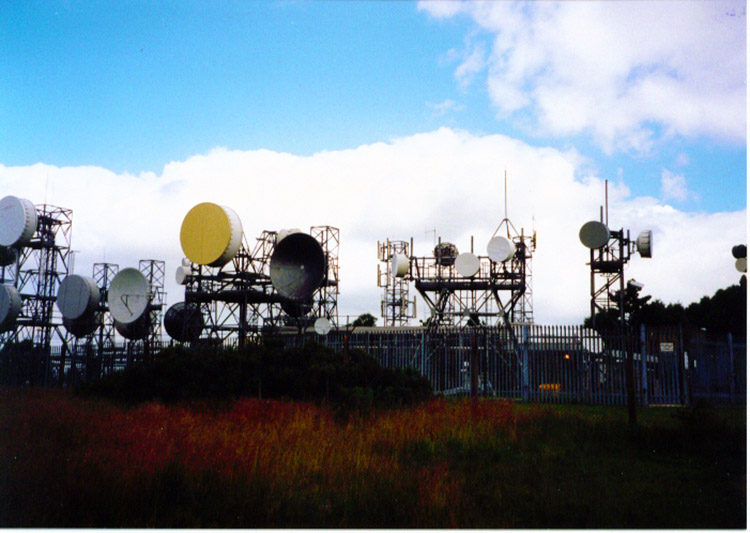 Wireless Station on Beacon Hill
Deke is back, just for the day with my pals Jess and Chris Clapham. Great company, good laughs and I was really back on walking form too. Striding out, my bounce definitely back. Swellings still on the knee but all the pain and stiffness are long gone now. I led most of the walk today in lovely weather and we all thoroughly enjoyed it.
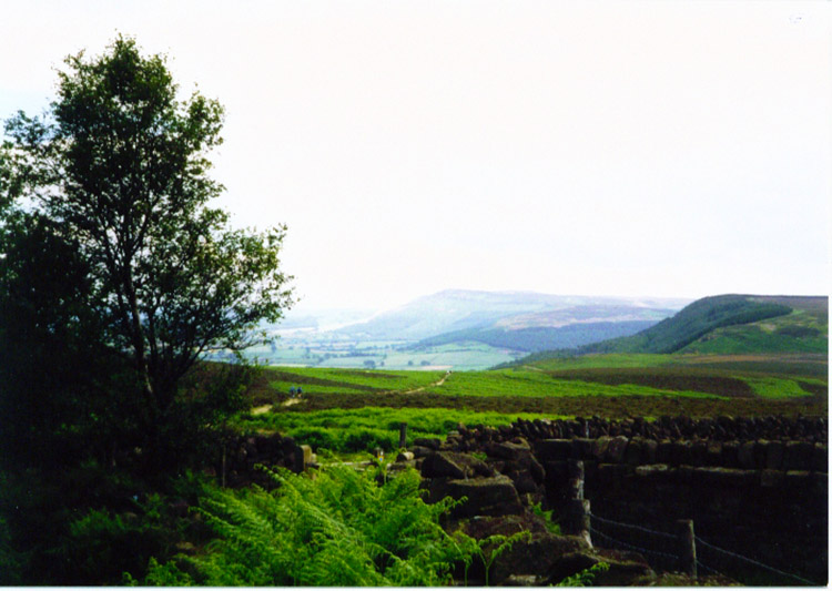 The Cleveland Hills from Scarth Wood Moor
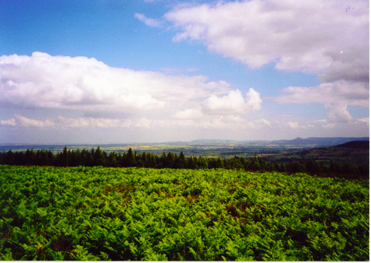 Fusion of colour at Scarth Nick
Ups and downs and hard paths are the order of the day. It's not too harsh distance wise so although I am feeling it at the end of the day I now know I am unstoppable until Scarborough. This walk has been brilliant and hard with spells of pain but its still brilliant. And today thanks boys - great company. Spike, Anne and Lil too. You have all been a great help. From tomorrow though it's up to me.
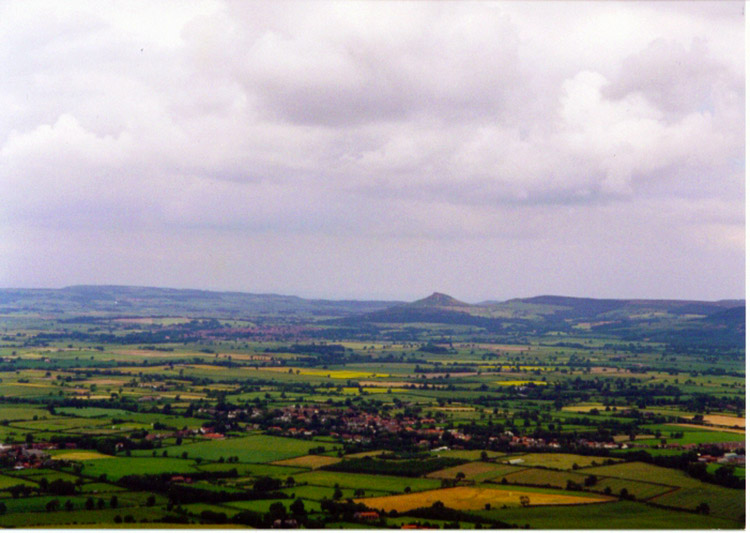 View of the Vale of Mowbray from the Cleveland Hills
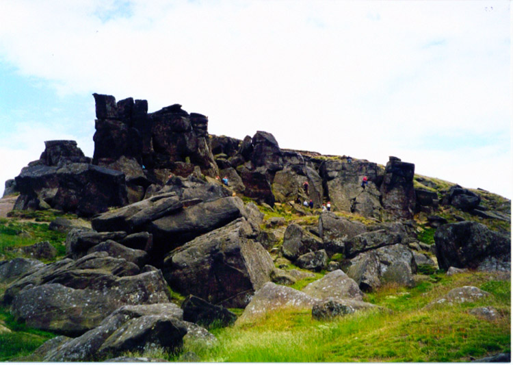 Wain Stones
This section of the walk is great for hill climbing and provides some great vantage points to view the surrounding countryside including Swaledale, the Vale of Mowbray and the North Sea Coast, your first opportunity to look towards the Coast to Coasters ultimate goal. Comment - For the last three days I had enjoyed the comfort of accommodation at my sisters in Northallerton. A perk for one born so close to the path of the Coast to Coast. It was appreciated and made the crossing a little easier (and cheaper!)


